The caimontilattari.it website is the result of the join efforts made by CAI sections of Cava de’Tirreni and Castellamare di Stabia and the Consorzio Turistico Amalfi di Qualità, with the goal of offering online updates of the new Hiking map of Monti Lattari.
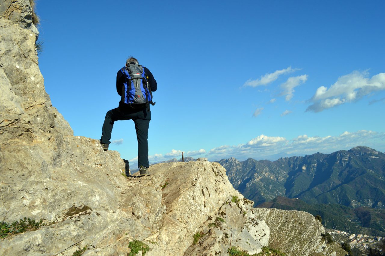
The Monti Lattari is the montain range of the Amalfi Coast, Sorrentine Peninsula and the Island of Capri. A region known worldwide for having been the first Italian Marine Republic, from 839 to 1135 a.C., and for being the birth town of Flavio Gioia, the inventor of the compass.
It is thanks to the glorious history of the duchy of Amalfi that the networks of trails were created. These trails are made up of about 530 Km of pathways, for the main part stairways, which link the various villages of the duchy and lead to the fortified cities built on the mountain summits, up to 1444 mt.
This network of trails consist of an Alta Via route (trail n. 300), 70 Km long, that crosses the entire peninsula from Cava de’ Tirreni to Punta Campaniella, and of a further 124 trails.
Our website and the new hiking map aim to make the entire territory of Monti Lattari safer to hike, providing users with a wide range of free downloadable materials, such as gpx files, trail descriptions and map excerpts in PDF.
The map can be bought online and at authorized points of sale.
The website is open to user interaction, which would enrich it with new content using the social network resources provided.
A big thank you to the CAI volunteers for their hard work over a period of two years and to the companies of the Consorzio Amalfi di Qualità, that have continuously supported us in such a vast project.