Trail info
Main info about the trail
Warnings
Trail variation. The trail on the maps published on 2014 and 2017 does not correspond to the current one, which presents some changes due some landslides occurred in the area. We recommend to download the current gpx file, which corresponds to the new trail.
How to get there
The trail starts from San Vito of Maiori, where you can arrive via 307 CAI on foot.Points of interest along the trail
Intersection 307 San Vito (232), Lauro (246), Cannaverde (263), Vallone della Badia (255), M.Piano (263), Intersection 305 (268)Description
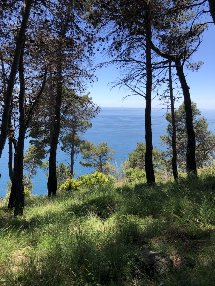
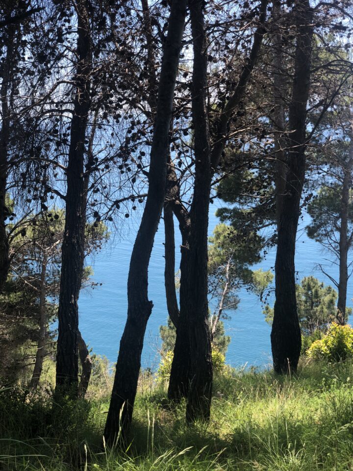
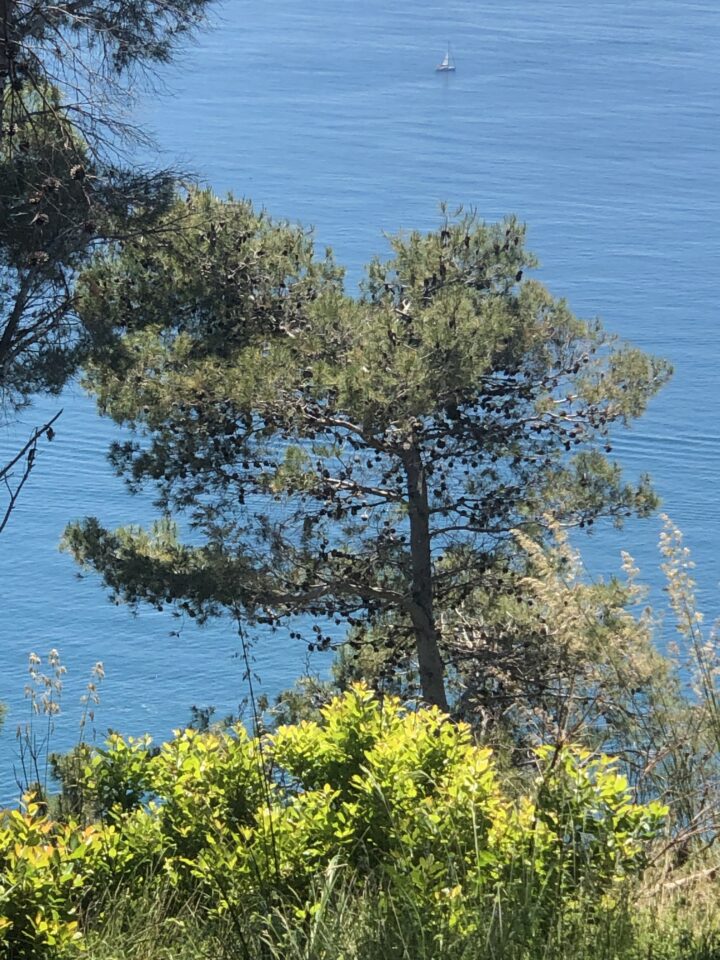
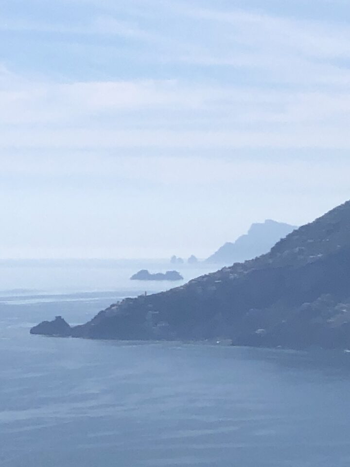
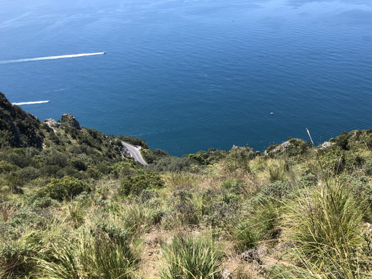
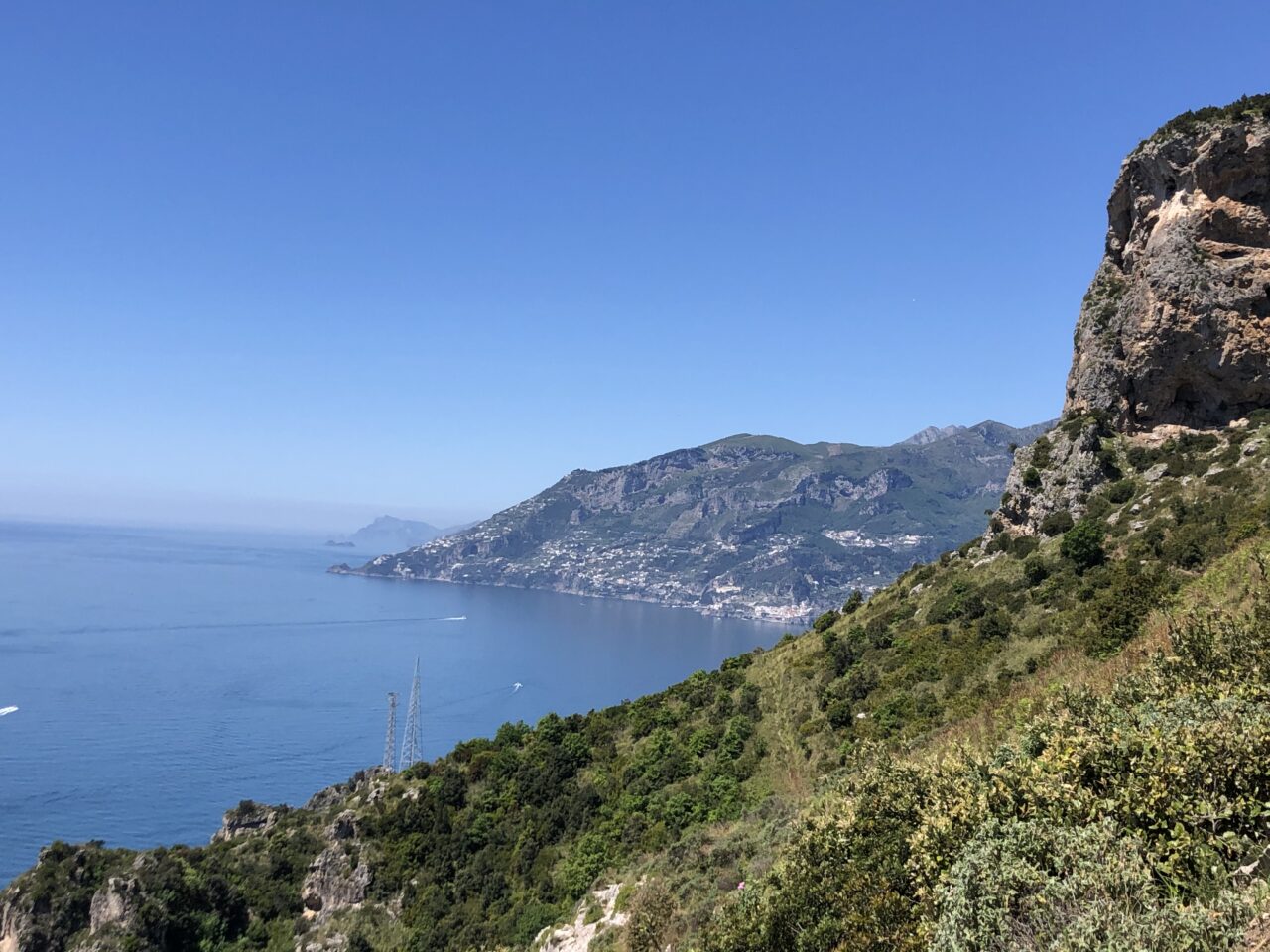
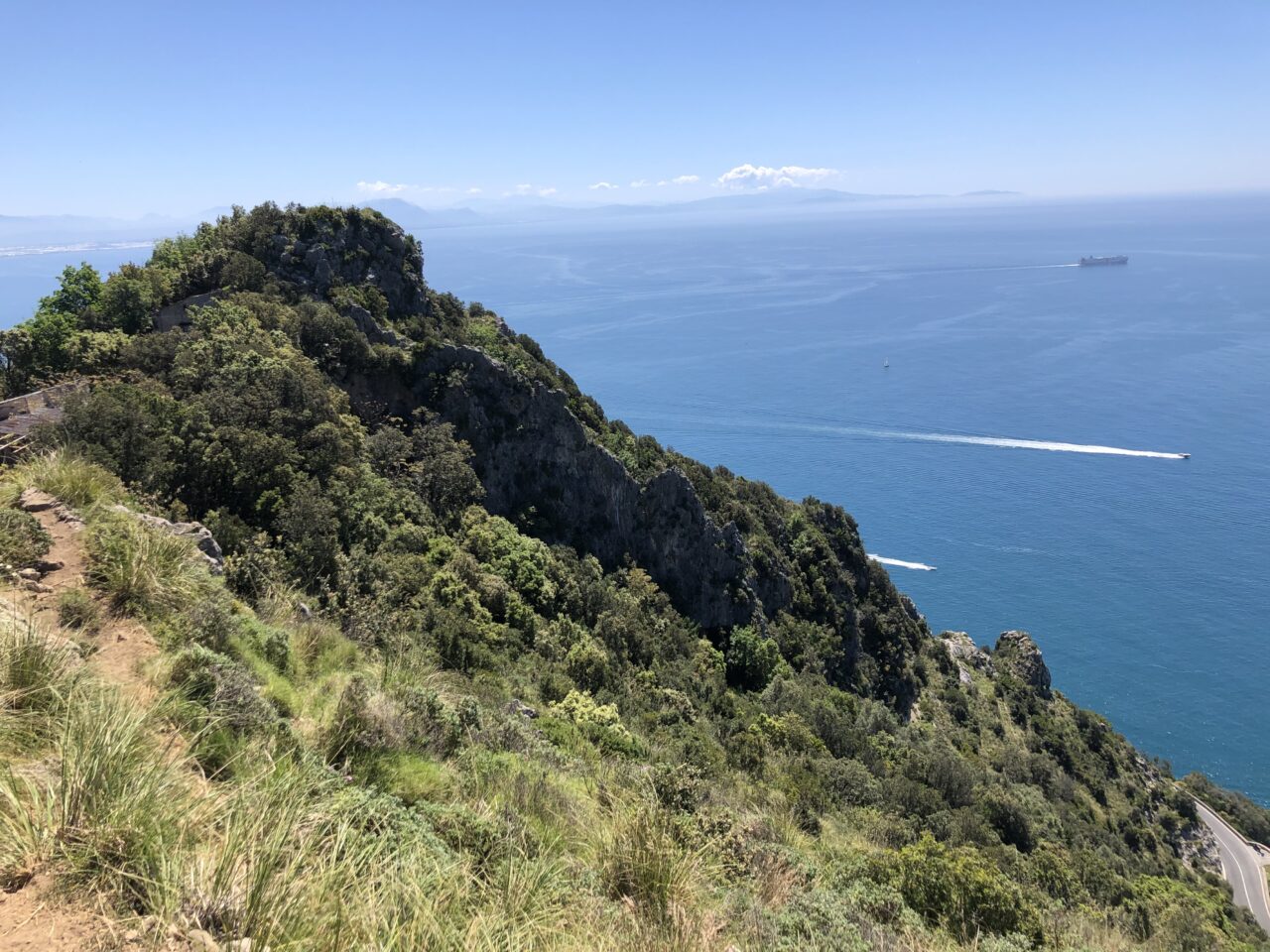
The route is a lower variant of the trail from Maiori to Erchie. It begins from the village of San Vito (m 232), where you have to take the path that goes to the right and leads to Erchie passing through “Canneverde”, “Valle della Badia” and Monte Piano. The trail ends at the intersection with the 305 CAI.
From Our Gallery
6 comments
Per chi non si fa intimorire da qualche segnale mancante o ambiguo lo consiglio vivamente, In alcuni tratti, specie sotto Capo d’Orso, fa invidia al sentiero degli Dei. I punti critici sono due: il primo è in prossimità proprio di Capo d’Orso, dove i segnali sono doppi, per cui se si sceglie, erroneamente, quello di destra, si finisce in una proprietà privata ( e questo spiega in parte le grandi scritte in rosso sulla strada carrabile “STRADA PRIVATA”), mentre se si sceglie, correttamente, quello di sinistra, ci si rende conto che, per proseguire, bisogna necessariamente camminare, direi senza pericoli, sui larghi bordi di una cisterna d’acqua all’aperto, che fa da ostacolo al percorso stesso; il secondo ostacolo si trova nella parte terminale, in cui non si capisce (smottamento?) dove sia l’incrocio con il 305, per cui l’unica alternativa è tornare indietro di un centinaio di metri e prendere un tratto in discesa che porta effettivamente sulla statale. Quest’ultimo tratto, che si attacca al 305, è facilmente individuabile essendo un terreno molto “morbido” e scosceso, fatto apposta per raggiungere la statale. Probabilmente questo problema è proprio dovuto agli smottamenti denunciati in alto nelle “avvertenze”
Quite difficult trail
This trail offers fantastic views but the trail is in some parts in bad condition. It is highly recomended to have access to a GPS. Even with GPS it is hard to follow the trail in some parts. The trail is partly slippery. My wife fractured here arm after a slight fall.
So if You like adventures and is in god shape You should make the tour.
sentiero sporco e mal tracciato
il sentiero è sporco e senza senaletica, fin quando c’è la strada carrabil risulta percorribile, , invece poco dopo il cimitero di Maiori (andando verso Erchie), la carrabile viene meno e non ci si trova più la traccia. E’ un peccato sarebbe una valida alternativa a chi non vuole camminare sulla pericolosa statale sottostante, sarebbe utile mettere qualche segnale e rendere il senitiero pi visibile.
Confermo le difficoltà dovute alla scarsa segnaletica, ma è impossibile perdersi dato che a sinistra c’è la roccia mentre a destra c’è la statale. Con un minimo di orientamento si prosegue bene.
Niente di che
Purtroppo questo sentiero non ha alcuna segnaletica anche se non è molto difficile orientarsi. Sul primo tratto si segue una strada carrabile e sul secondo tratto una vecchia strada carrabile ancora ben visibile. La parte più difficile per proseguire é quella al di sopra della Badia di Santa Maria de Olearia.
Il sentiero é ad una quota di poco superiore alla strada statale per cui non é un sentiero particolarmente panoramico.
Il panorama è quasi sempre presente, sia percorrendo la strada carrabile sia sul sentiero vero e proprio.