Trail info
Main info about the trail
Warnings
2024 Update
The landslide has not been removed, but a by-pass has been created to allow it to be bypassed.
Therefore, the path can be traveled again using the new route, which runs parallel to the first, along a pre-existing aqueduct, at an altitude of about 5 meters lower than the original path.
2022 Update
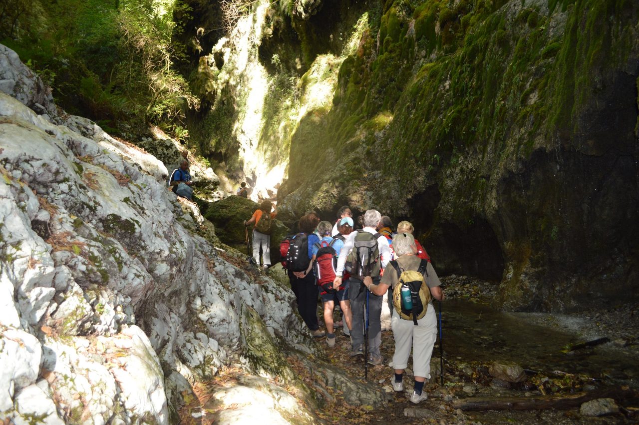
On 9 Aprile 2022 a landslide made unusable the path in the stretch between the Restaurant Fore Porta and the Ruins of the Iron Mill. Therefore, the path 325 is only accessible in the lower part (from Amalfi to Fore Porta Restaurant) and in the upper part (from the Ruin of the Iron Mill to the Oriented Natural Reserve of the Valle delle Ferriere). To visit the Reserve we suggest to use the path 323a departing from Pontone.
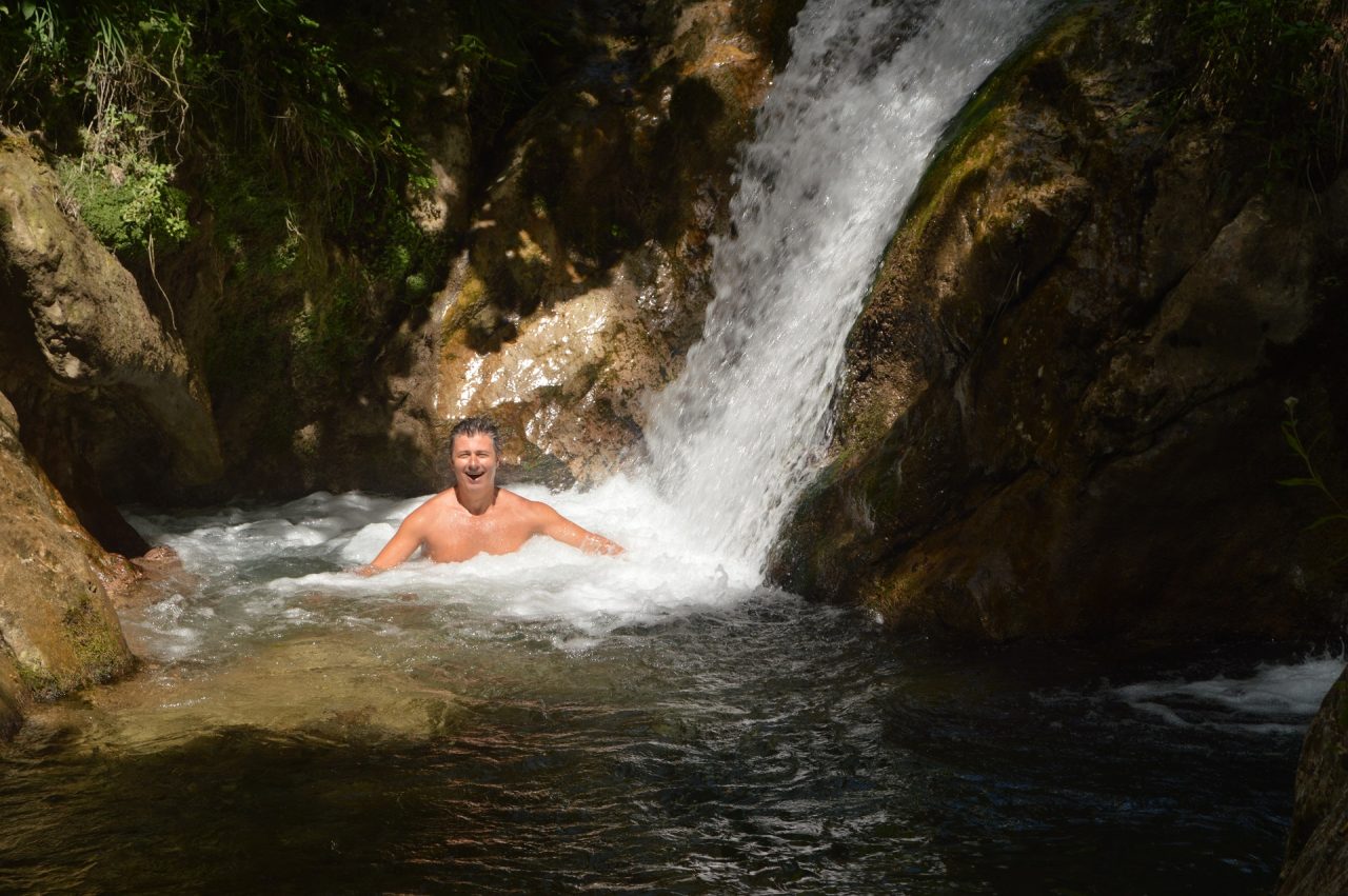
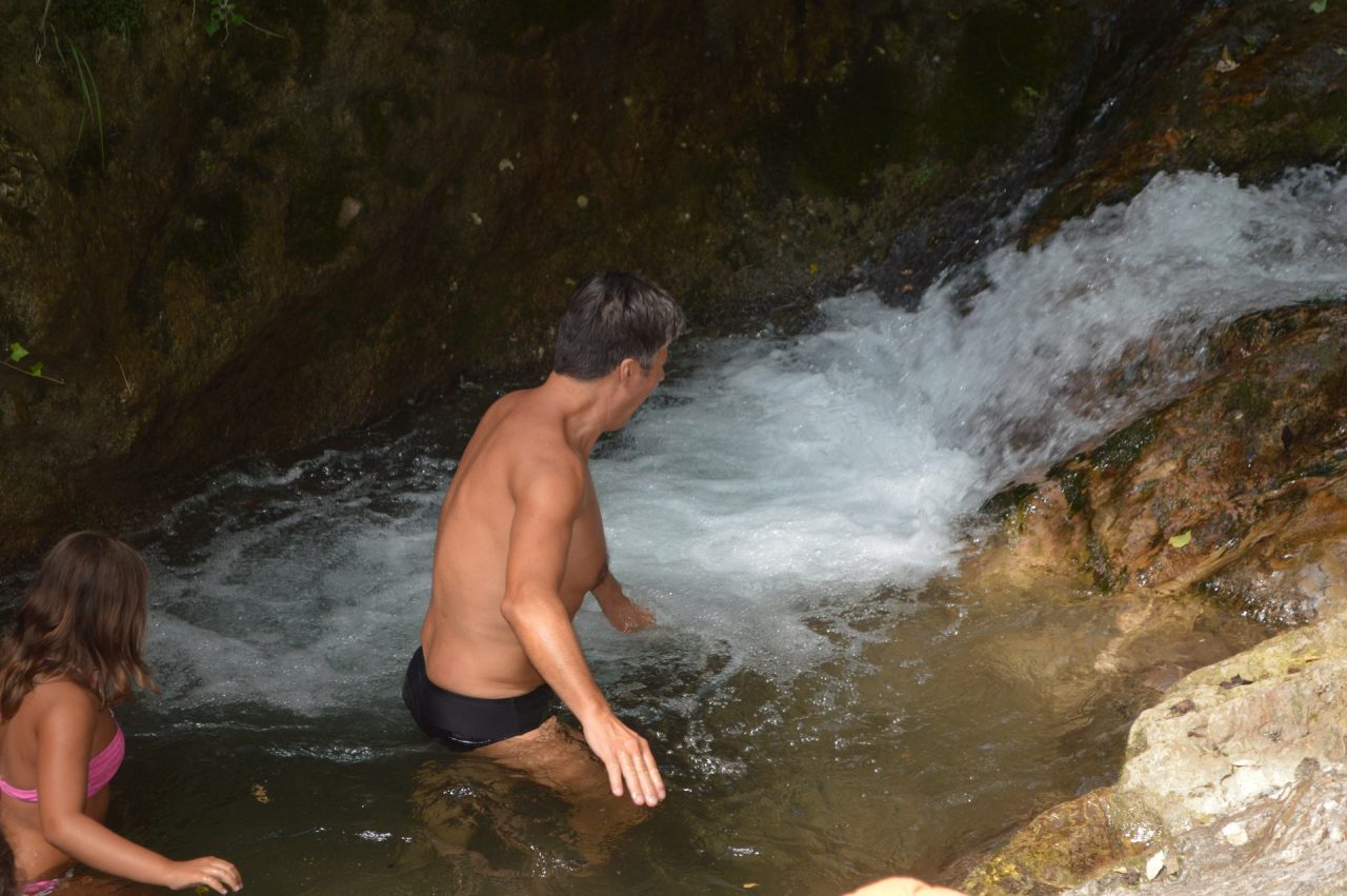
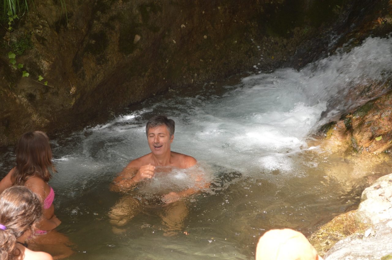
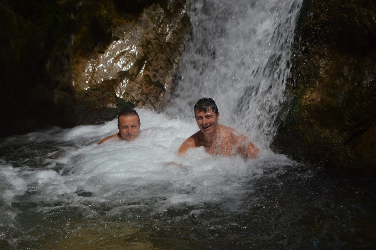
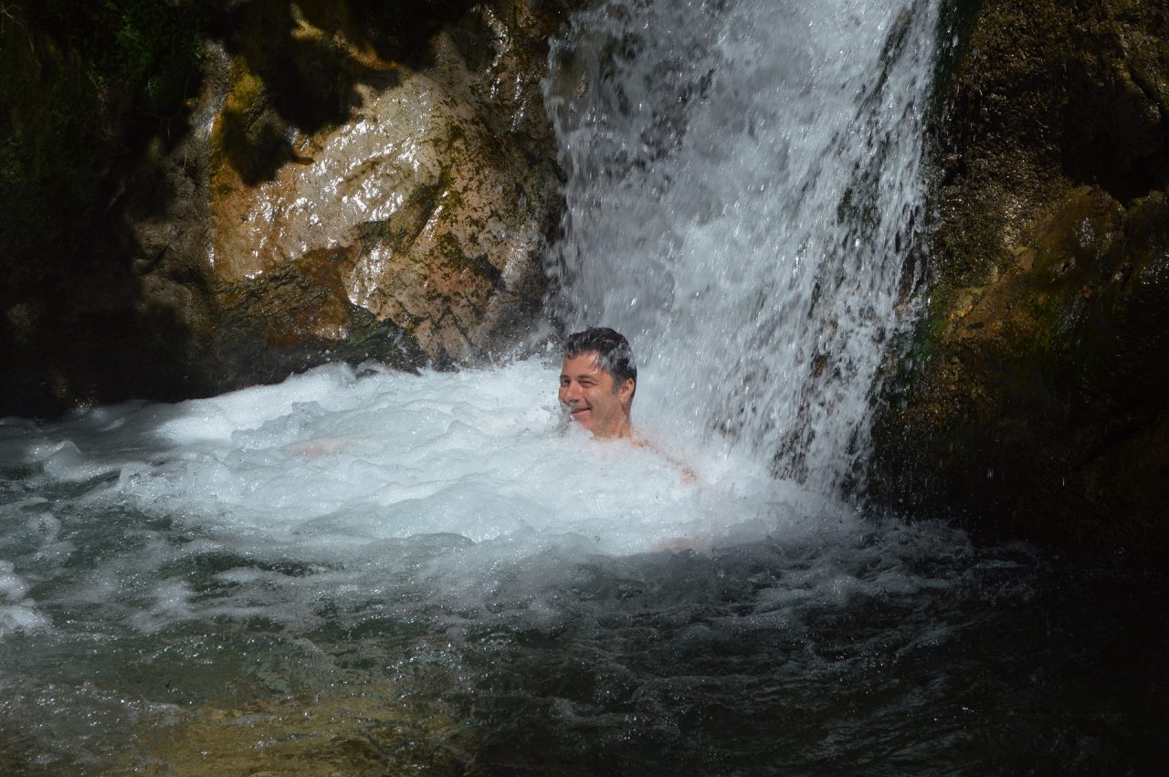
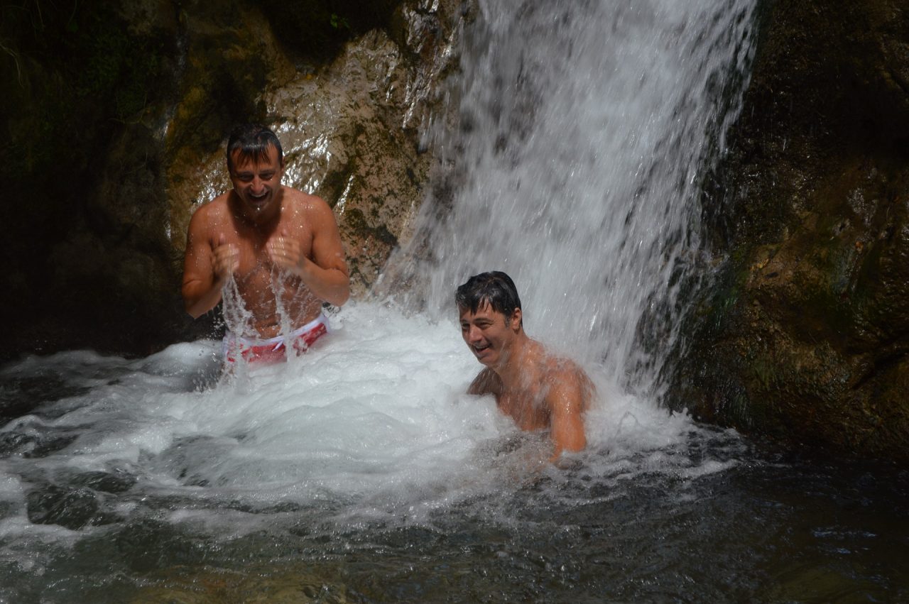
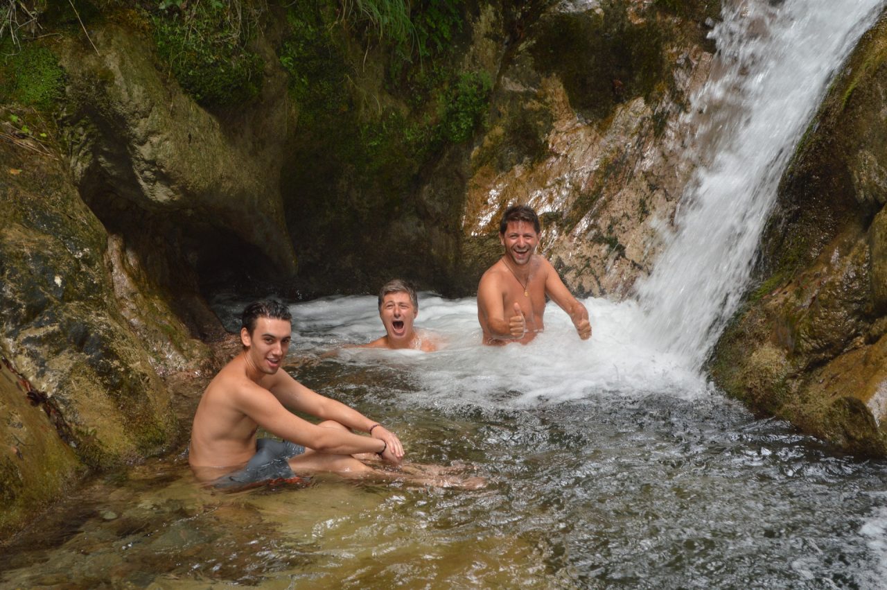
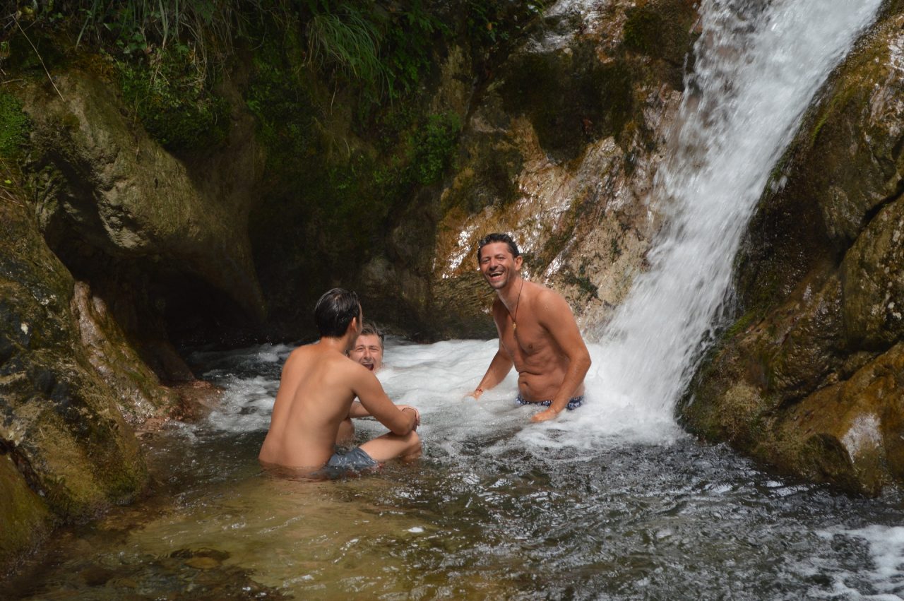
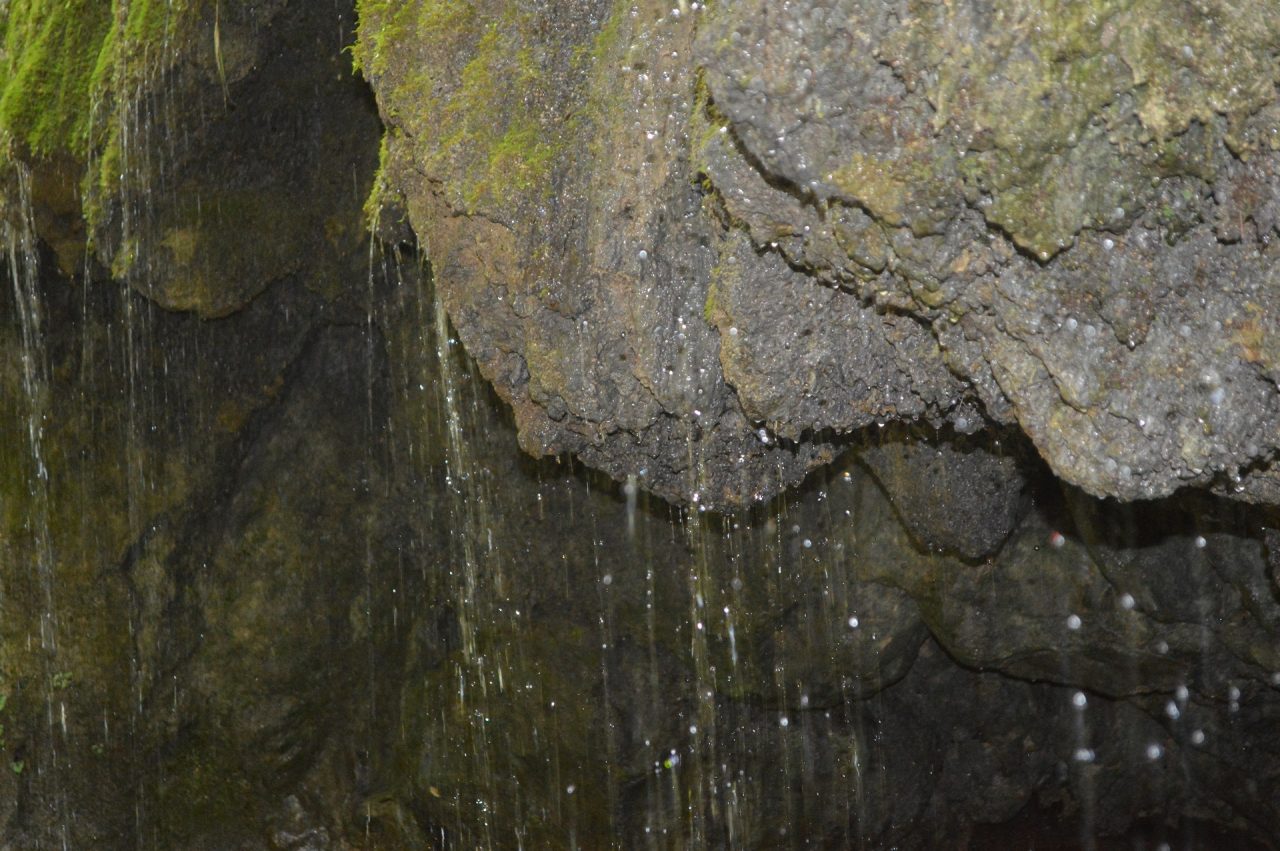
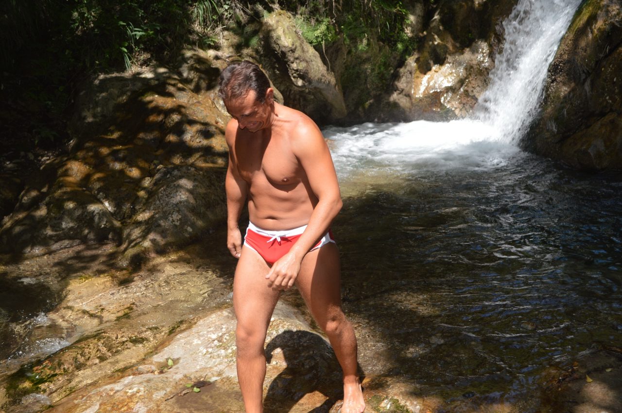
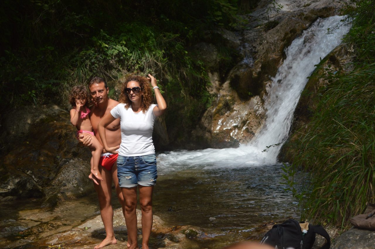
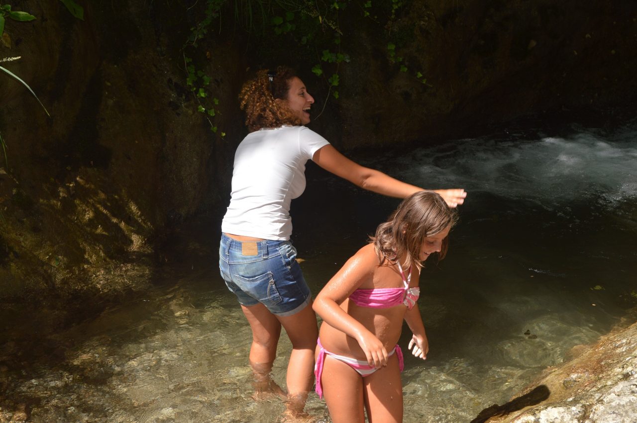
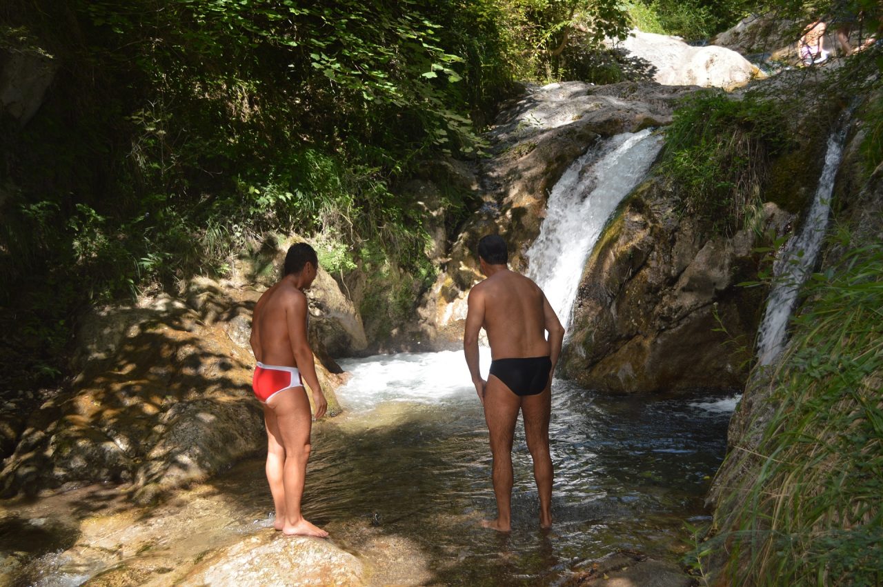
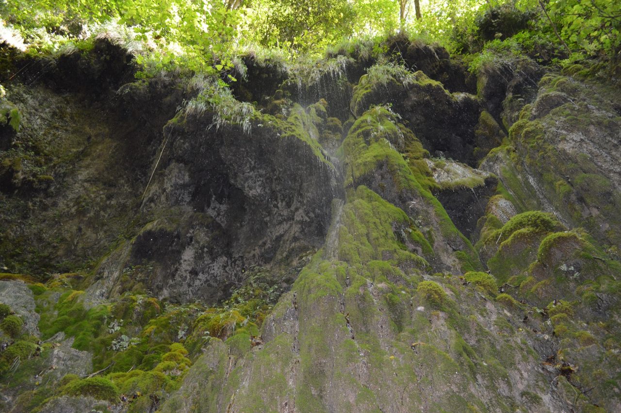
Access to the Natural Reserve (very small area located at the end of path 325, where you can visit the main waterfall and the Woodwardia Radicans fern) is subject to a fee. The cost is 5€ per person. Trail 325 is free as all other trails on the Amalfi Coast.
How to get there
The trail begins in Piazza Flavio Gioia in Amalfi, end of line of SITA buses from Salerno and Sorrento and main stop of ferries from Salerno, Capri and Positano, operating daily from April to October.Points of interest along the trail
Amalfi (5), Intersection 361 (7), Intersection 323 (18), Intersection 359 (25), Intersection 323a Rudere delle Ferriere (244), Intersection 325a Acquedotto (288), Riserva Naturale Orientata (285).Water points
Fontana Sant'Andrea Fontana Cap e Ciuccio Fontana Madonna del Rosario Sorgente Riserva Naturale OrientataDescription
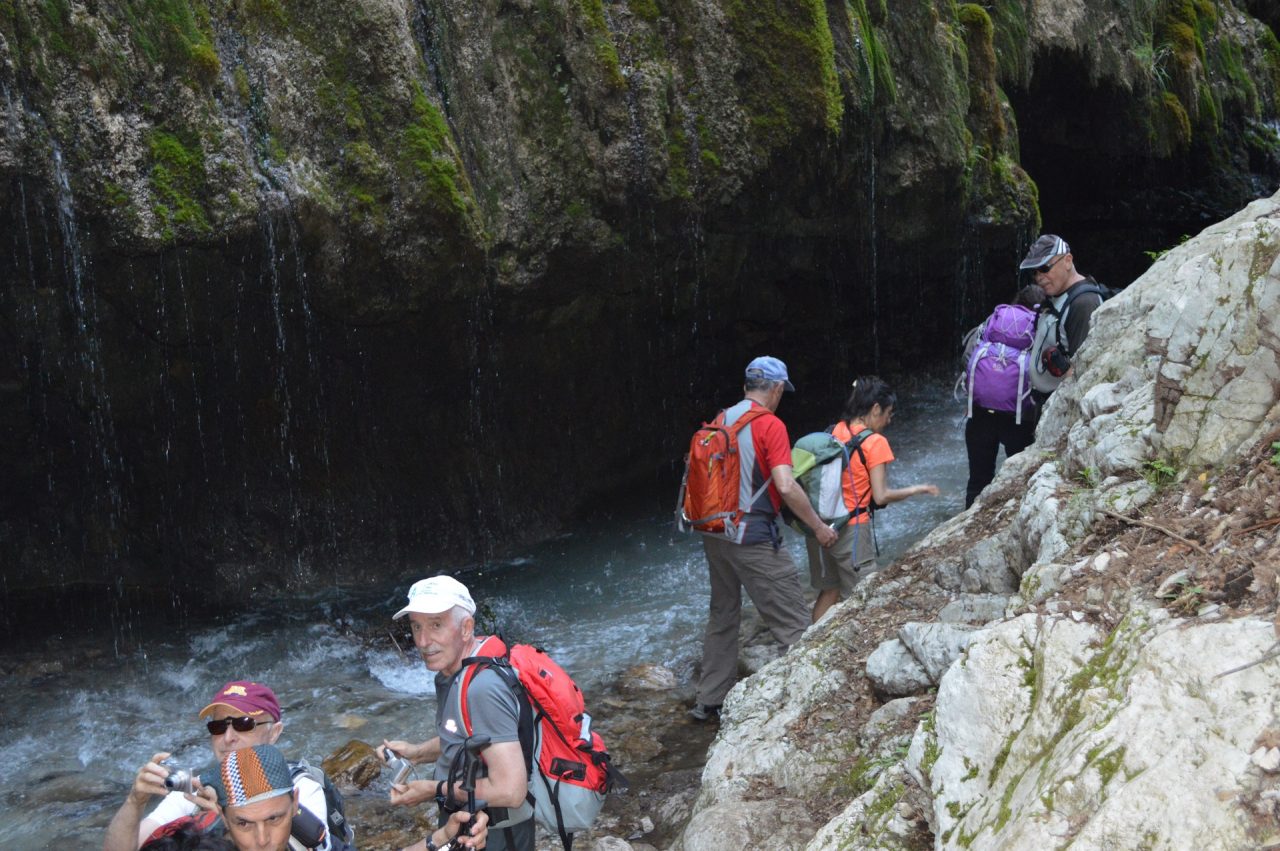
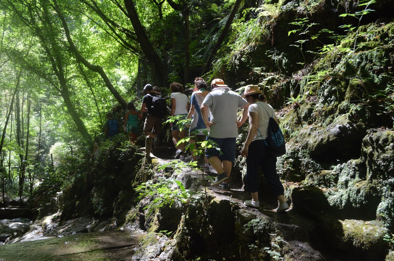
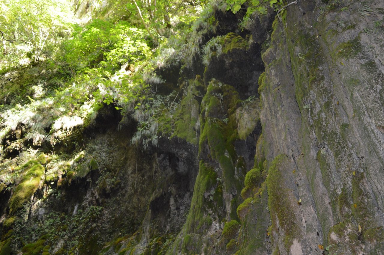
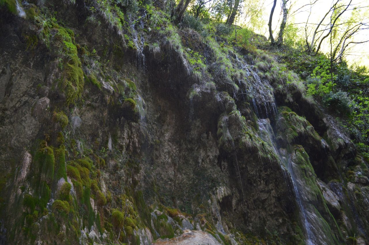
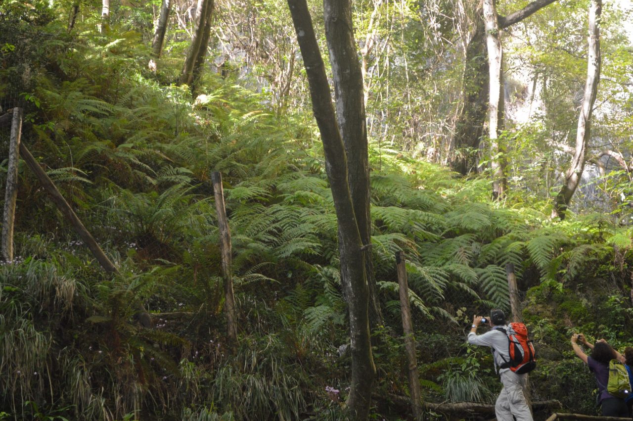
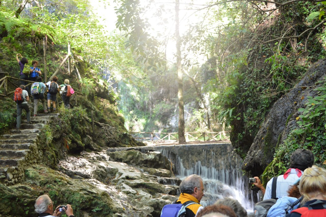
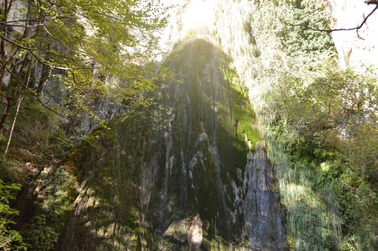
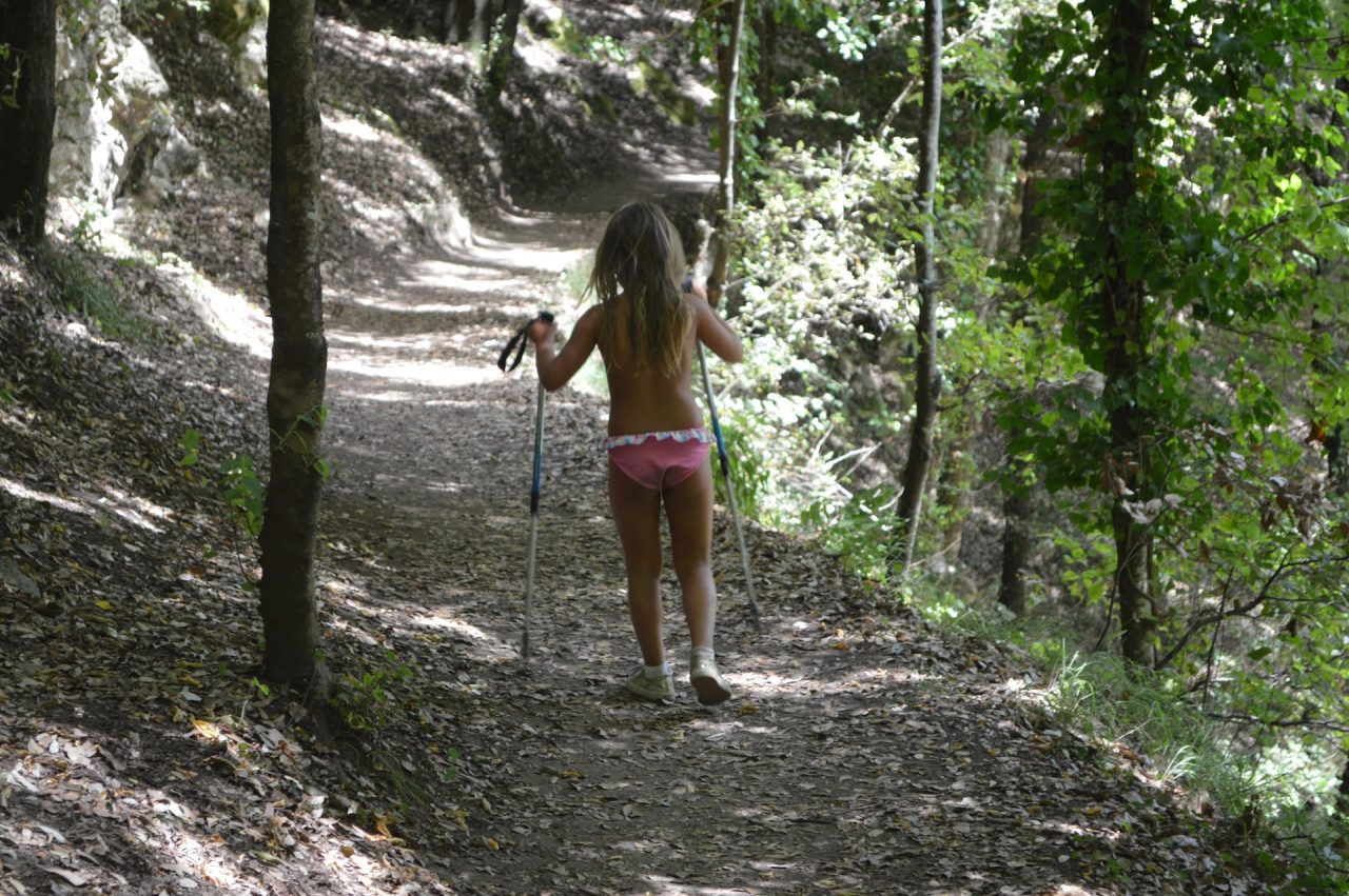
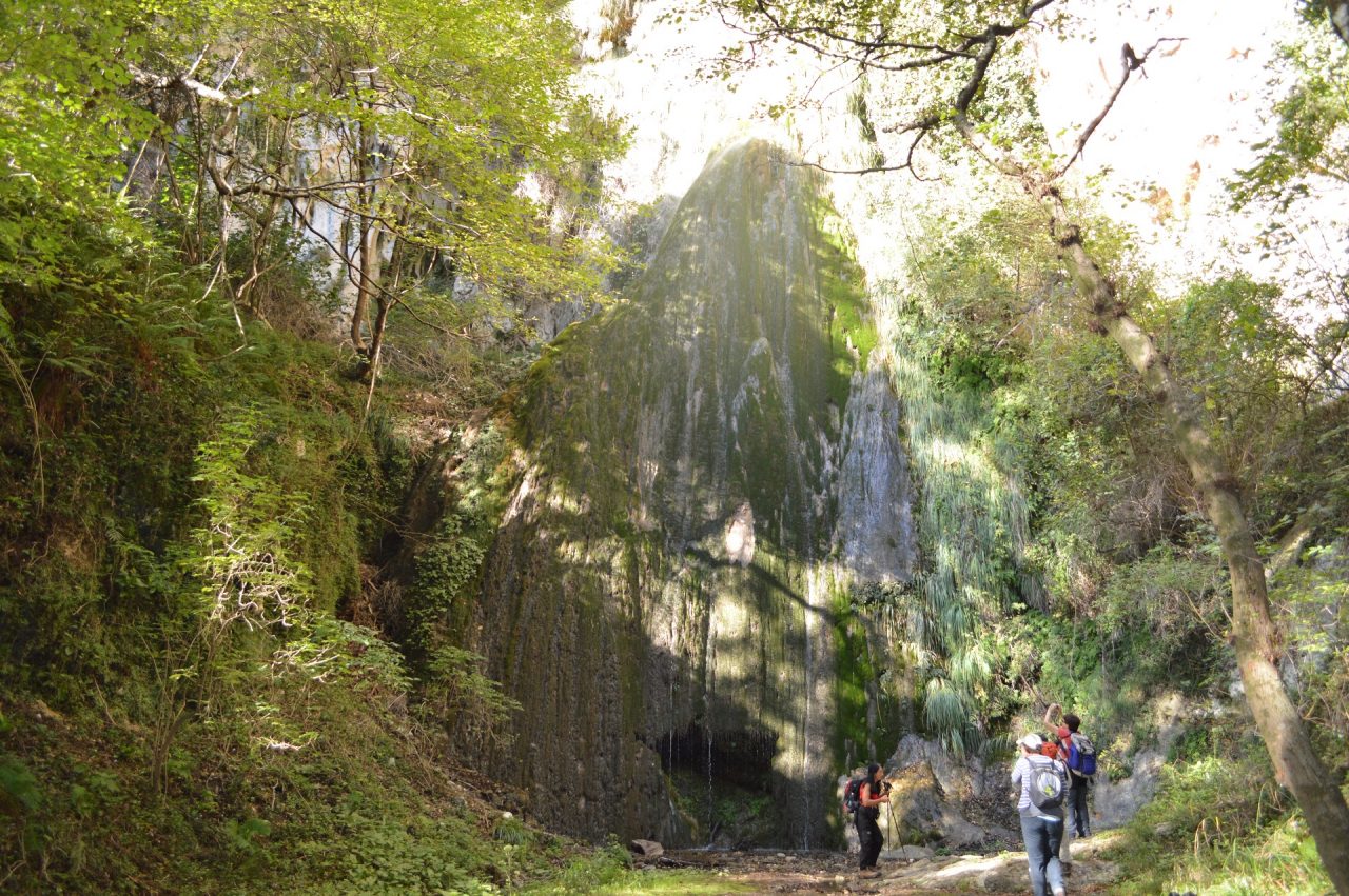
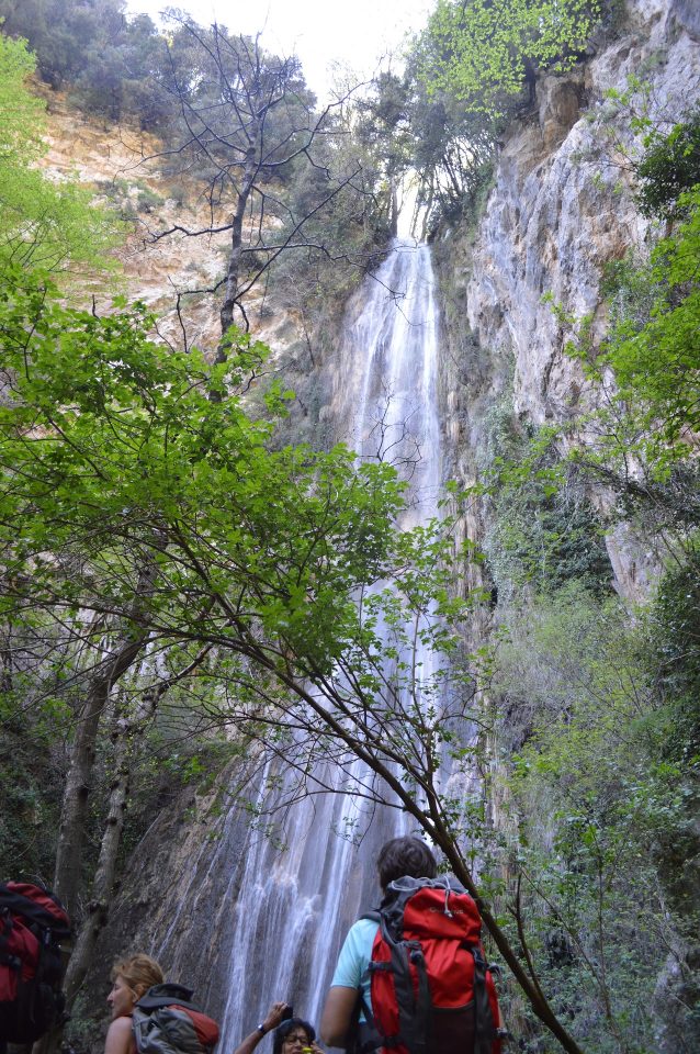
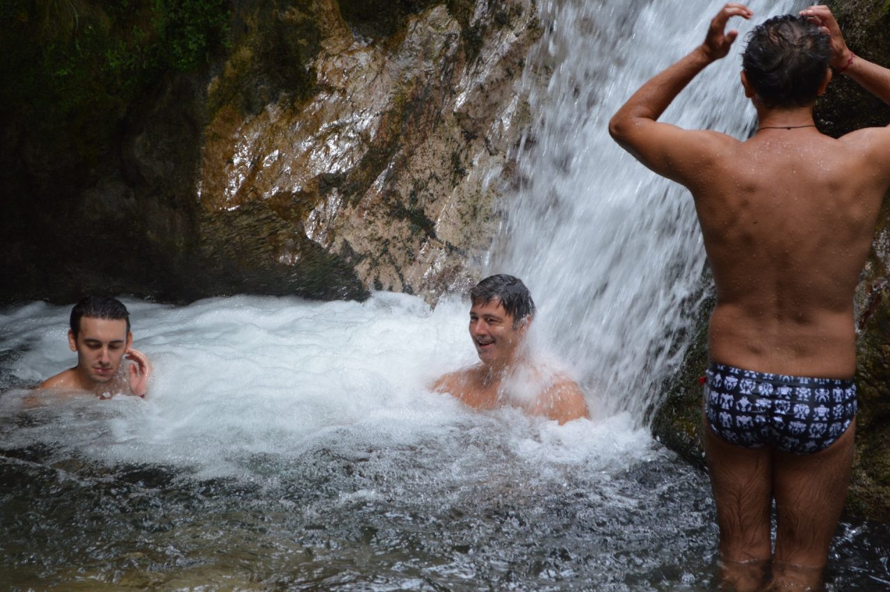
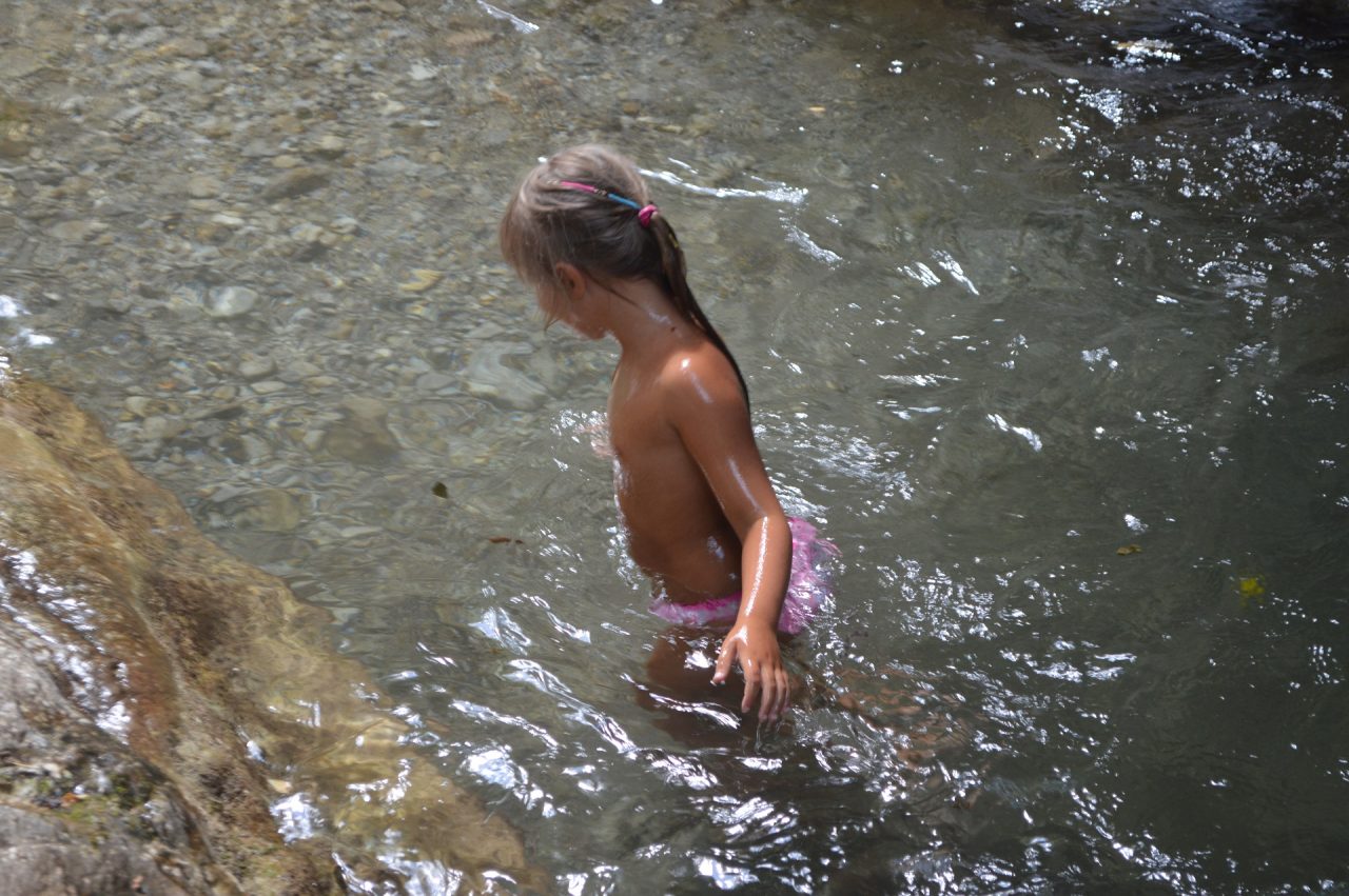
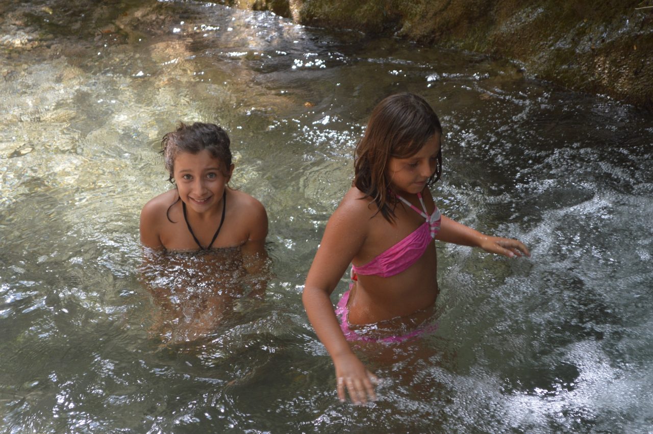
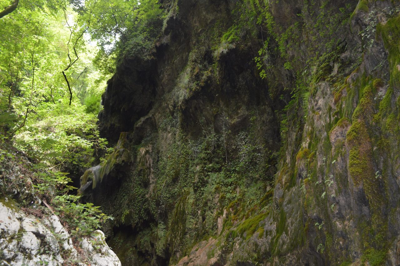
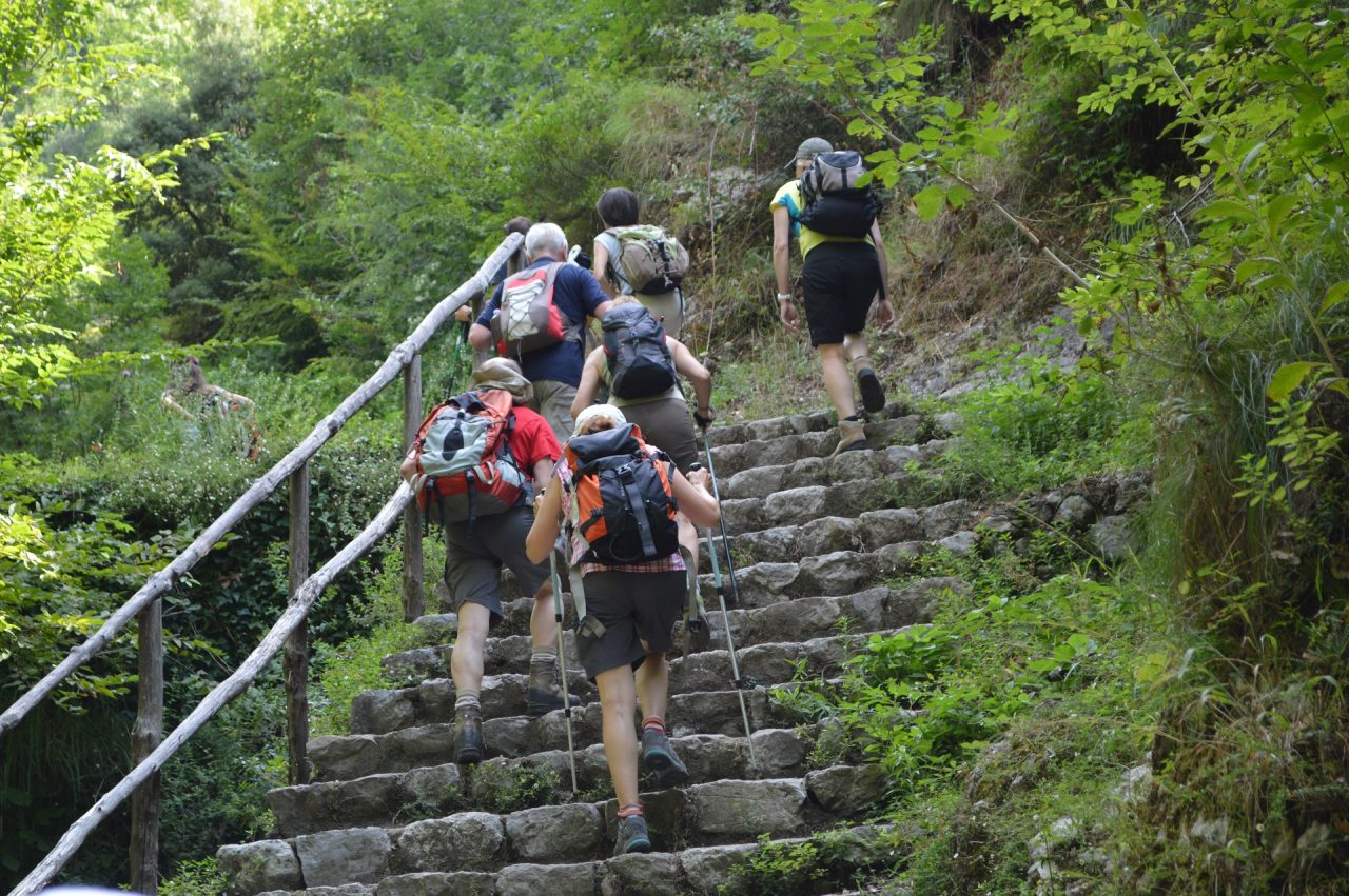
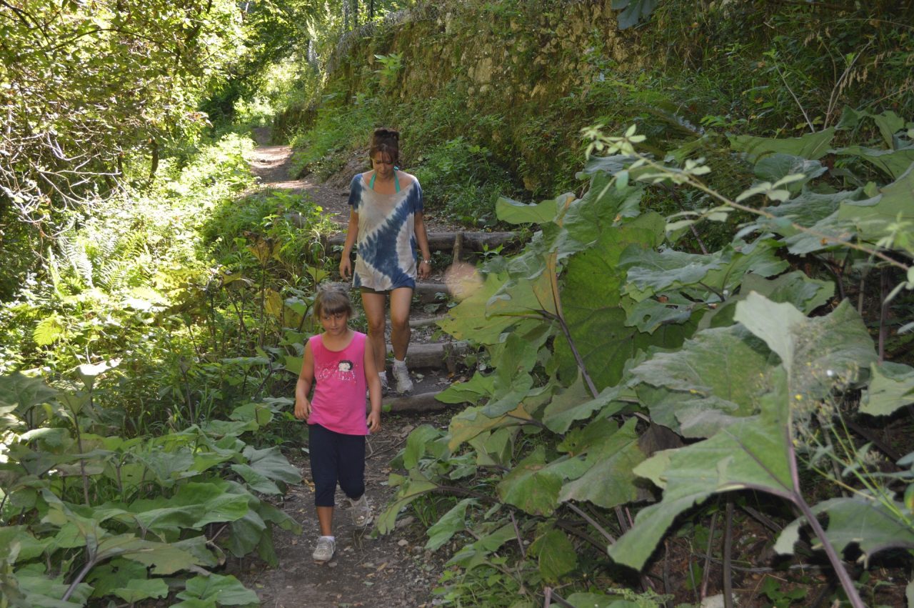
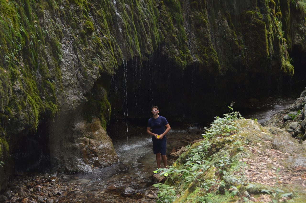
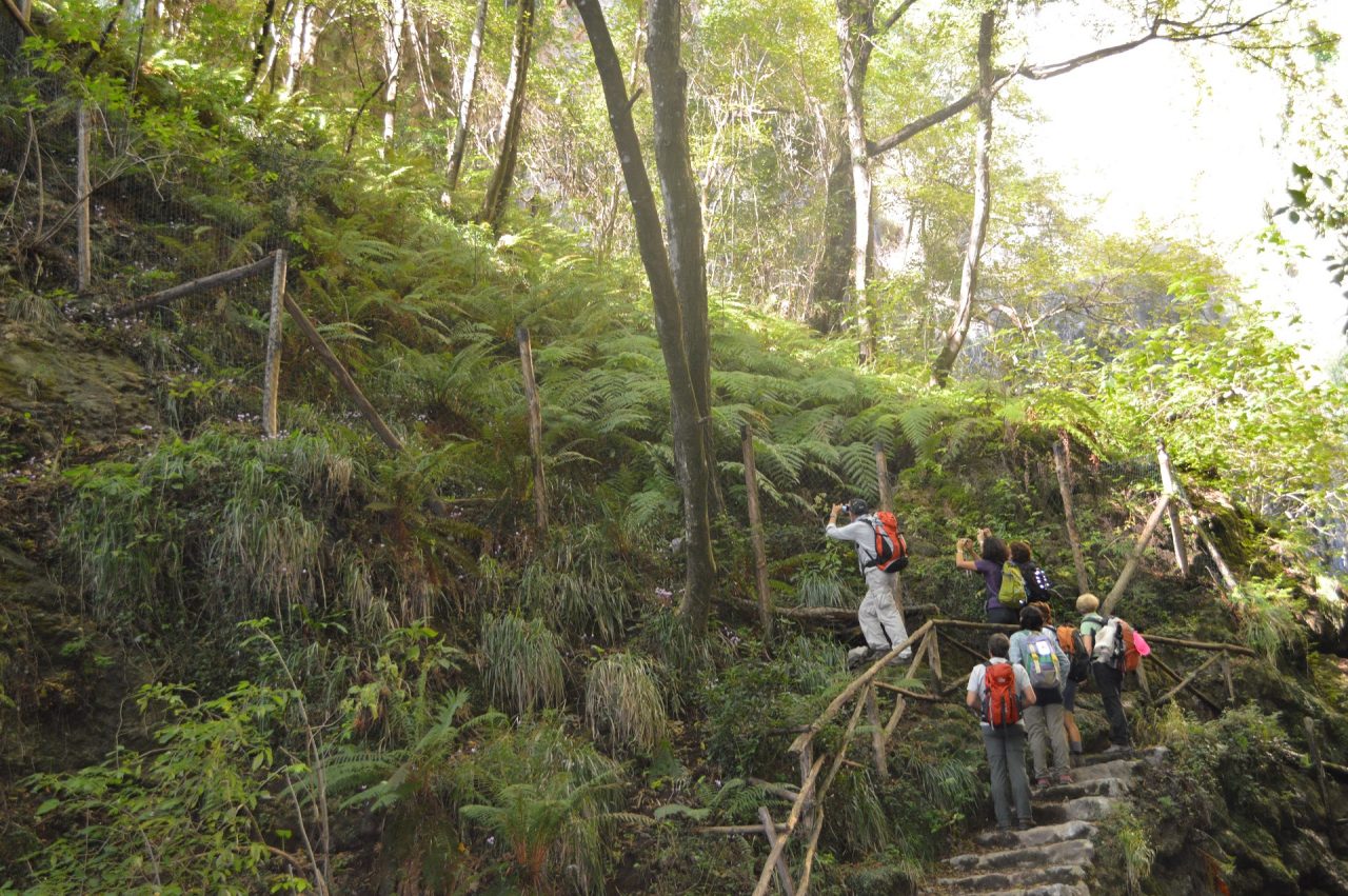
This trail cuts through the town of Amalfi and the marvellous “Valle delle Ferriere” located alongside the stream named “Canneto”. It was a thriving industrial district from 1200 to 1800, well known for the production of paper and now the home to the “Riserva Naturale Orientata”, where one can still find a kind of fern (Woodwardia Radicans) that dates back to the pre-glacial era.
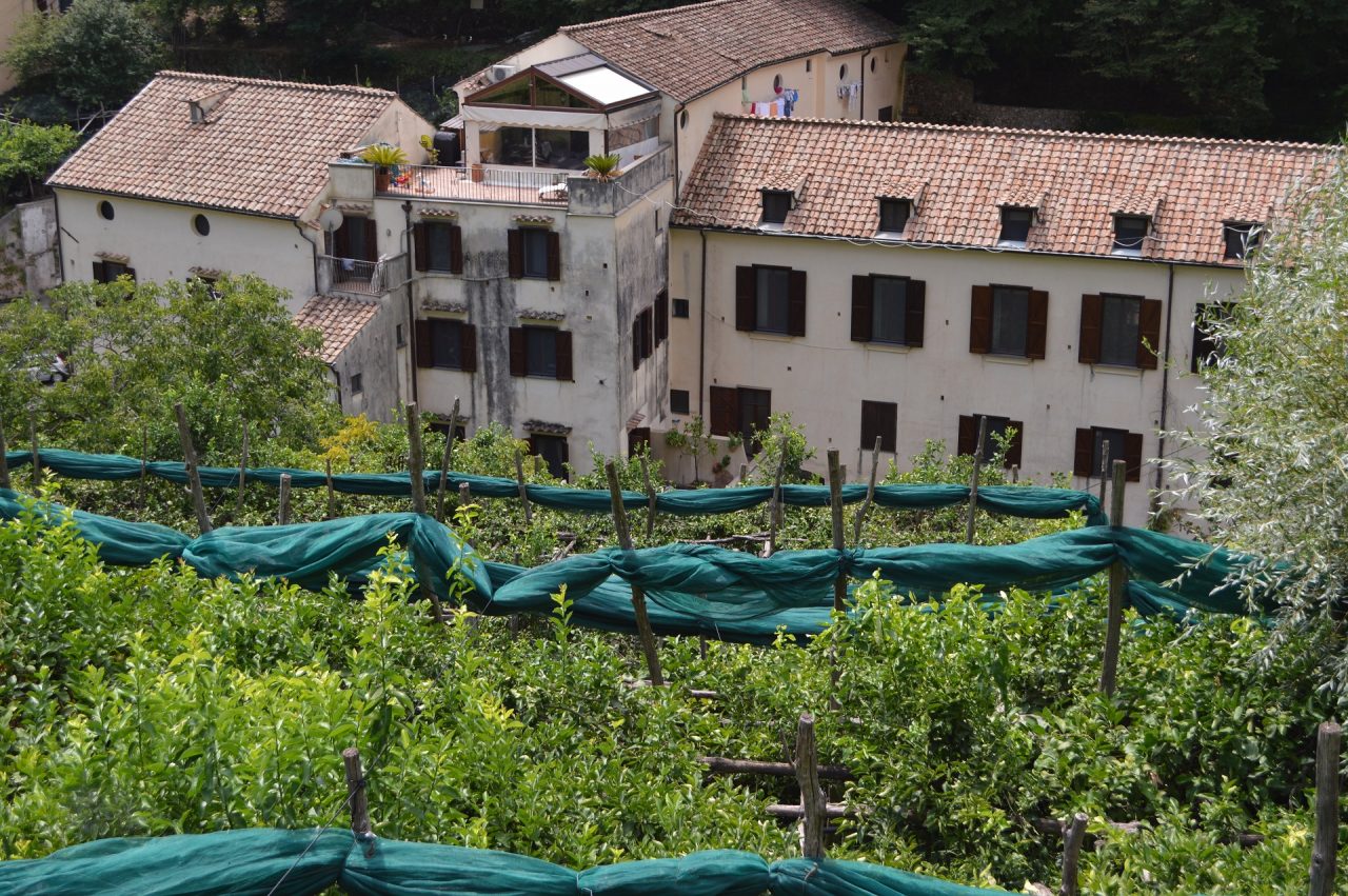
The trail begins in Flavio Gioia square (5 mt), end of line of buses and ferries. Gain access to the city centre via “Porta della Marina” on the left of which are located the “Arsenals of the Republic”, once the docking harbor of the Dukedom of Amalfi and today home of the “Museum of the compass and of the Dukedom of Amalfi”. The majestic cathedral of Sant’Andrea Apostolo dominates Piazza Duomo. It was built in 987 and in its 1203 crypt are located the remains of Saint Andrew. Beside the Cathedral are the 1268 Cloister of Paradise, the 1180 bell tower and the 9th century “Basilica del Crocifisso”. Proceed north along Amalfi’s main street (Via Lorenzo d’Amalfi – Via Pietro Capuano) and the first part of “Valle dei Mulini” (Via Marino del Giudice – Via delle Cartiere) up to the Paper Museum, once a paper mill and today a museum where it is possible to admire the traditional process to handcraft paper. From the Paper musuem take a right (Via Orso Leone Comite) and just after a few meters take the steps to left (Via Grade Lunghe) leading to the ancient paper mill district. Along the way, enriched by lemon trees, one encounters the De Luca Papermill, the church of the “Madonna del Rosario”, the Amatruda papermill, the remains of the lower hydroelectric powerplant, the remains of the Lucibello-Confalone Papermill, those of the Marino Papermill, the upper hydroelectric powerplant (still supplying) and the remains of the “Ferriera” (244 mt). On this last site, the local industry would mine the iron from the rocks imported from the Isle of Elba. Follow the track along the stream named Canneto and cross it at 288 meters altitude, location of the “Acquedotto” thus named because it supplies the water to the hydroelectric powerplant. From this point, take a right up to the “Riserva Naturale Orientata” (285 mt), accessible only if authorised by the State forestry Corps.
From Our Gallery
17 comments
Salve, volevo sapere se il sentiero 325 è percorribile in questo periodo. Avevo letto di una frana di qualche tempo fa. Vorrei fare il sentiero nei prossimi giorni partendo da Amalfi
Buongiorno. Vorremmo sapere se il percorso 325 è stato ripristinato per intero dopo la frana del 2022.
Grazie
Ci dispiace comunicare che la frana non e’ stata ancora rimossa e che il sentiero resta ufficialmente chiuso.
Aggiornamenti sullo stato del sentiero 325
Abbiamo percorso l’alta Via delle Ferriere e dopo fic’a noce abbiamo preso il 325a per raggiungere la riserva naturale orientata che purtroppo era chiusa. Sapevamo che il 325 era chiuso e avevamo deciso di prendere il 323 per andare a Pontone e da lì scendere ad Amalfi. In loco però abbiamo trovato altri escursionisti locali provenienti da Amalfi che ci hanno detto che la frana era facilmente aggirabile. Siamo quindi scesi per il 325 e siamo rimasti piuttosto perplessi dall’esistenza di una ordinanza di chiusura del sentiero. La frana in effetti non è stata rimossa (cosa di per sé difficile da comprendere visto che è accaduta da più di un anno, ma non abbiamo competenze per giudicare la complessità dei lavori di ripristino e messa in sicurezza. Abbiamo però verificato che la frana interessa un breve tratto che poteva essere aggirato tramite un sentiero alternativo poco più a valle. In alternativa poteva essere superata… passando sopra la frana stessa. In montagna è usuale rimodellare i sentieri sulla base dei movimenti del terreno. Essendo un territorio soggetto a frane sconsiglierei di percorrerlo in condizioni meteo temporalesche. Per il resto non vedo cause di rischio da giustificare la vigente ordinanza di chiusura.
A che alteazza del sentiero 325 c’è la frana?
Altezza Agriturismo Fore Porta. 100 metri dopo l’Agriturismo, salendo.
Aggiornamenti?
Buongiorno
Ci sono aggiornamenti sul ripristino del sentiero?
Buongiorno. E’ possibile percorrere questo sentiero da sola a fine Novembre primi di dicembre?
Grazie a chi vorraà rispondermi.
Un saluto e buoni passi.
Francesca
Ciao. Purtroppo il sentiero da Amalfi è ancora chiuso. I lavori di ripristino stanno per iniziare e, presumibilmente, il 325 sarà riaperto per marzo 2023. Per visitare la Riserva Naturale potr a’ partire da Pontone percorrendo il sentiero 323a e poi la parte alta del 325. Buon cammino!
Buongiorno Carissimi,
sapete se il sentiero verrà ripristinato a breve?
Grazie mille per il cortese riscontro.
Buona giornata,
Marco
Come posso fare a prenotare online per evitare ulteriori file e assembramenti (causa Covid)??
Salve, vorrei sapere se il sentiero risulta di facile percorribilità e se le salite non sono impegnative volendo portare anche un bambino di 9 anni .Grazie Enrico
Salve, vorrei raggiungere la Valle delle Ferriere partendo a piedi da Agerola. Per intenderci seguendo in successione i sentieri 369A-301-325A-325.
Ho già fatto questo percorso quattro anni fa e mi piacerebbe ripeterlo ma non so se al momento i sentieri sono agibili.
I carabinieri del Reparto Biodiversità mi hanno detto che sono chiusi i sentieri della parte alta della Riserva…
Grazie!
È possibile percorrerlo in inverno? È attualmente in buone condizioni?
Assolutamente si. Il sentiero è in ottime condizioni e può essere percorso tutto l’anno.
Spettacolo nella valle
Un esperienza bellissima Si cammina in mezzo alla natura…Le cascate bellissime La zona riserva naturale Fantastica
Il paradiso a 2 passi da Amalfi
Semplicemente stupendo!! Il sentiero è chiaro, ben indicato, facile e molto pulito. Zigzagando fra i ruderi delle antiche cartiere di Amalfi, arriva alla Riserva delle Ferriere dove ci attende un meraviglioso ambiente naturale.