Trail info
Main info about the trail
Warnings
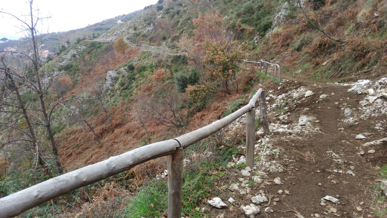
The trail was crossed by fires in August 2017. It is currently not easy to walk due to the presence of trunks and the partial disappearance of CAI signage.
Pay attention to the boulder fall.
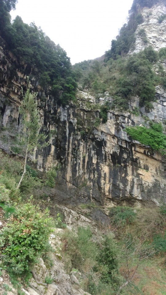
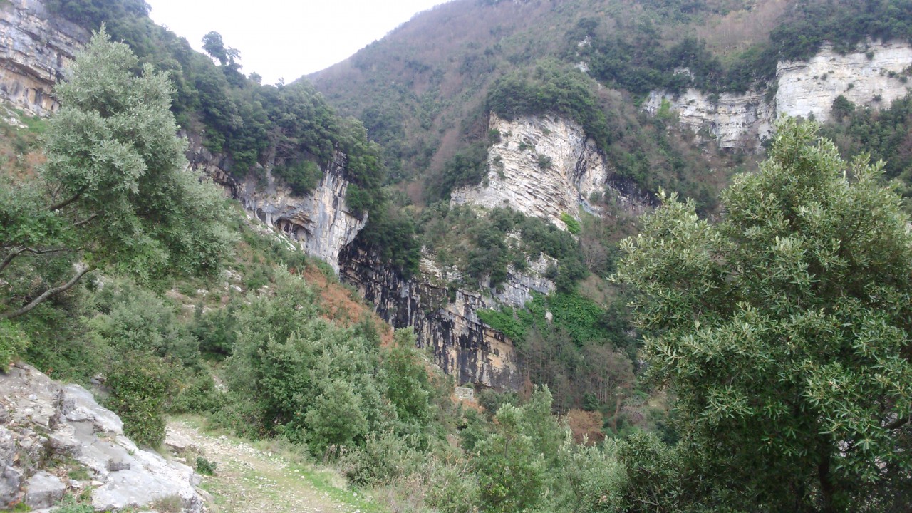
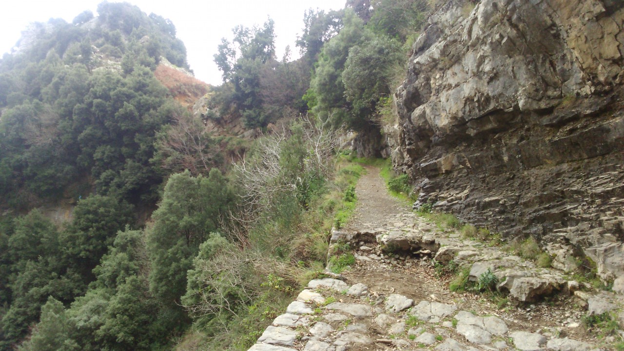
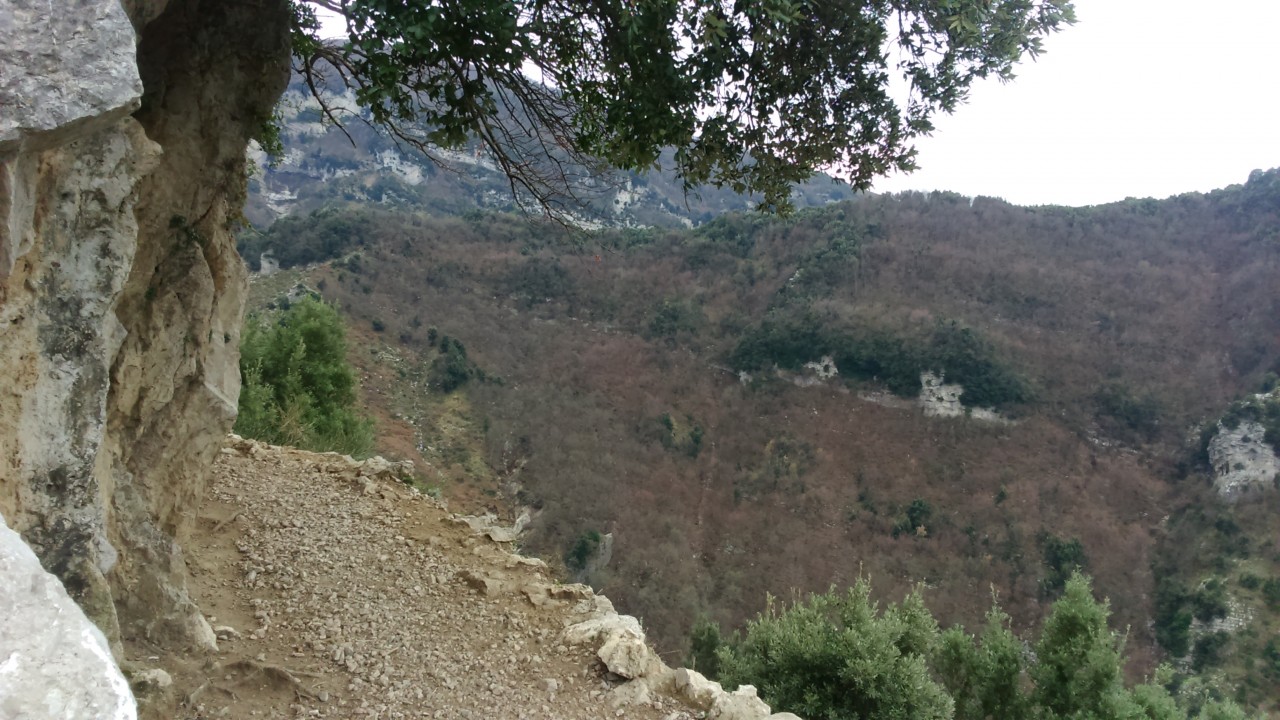
Presence of exposed parts, possible tracts partially obstructed by vegetation.
Slippery stretches in case of rain.
How to get there
The trail begins from "Via Fondica" of Aurano and ends at "Via Canali" of Orsano.Points of interest along the trail
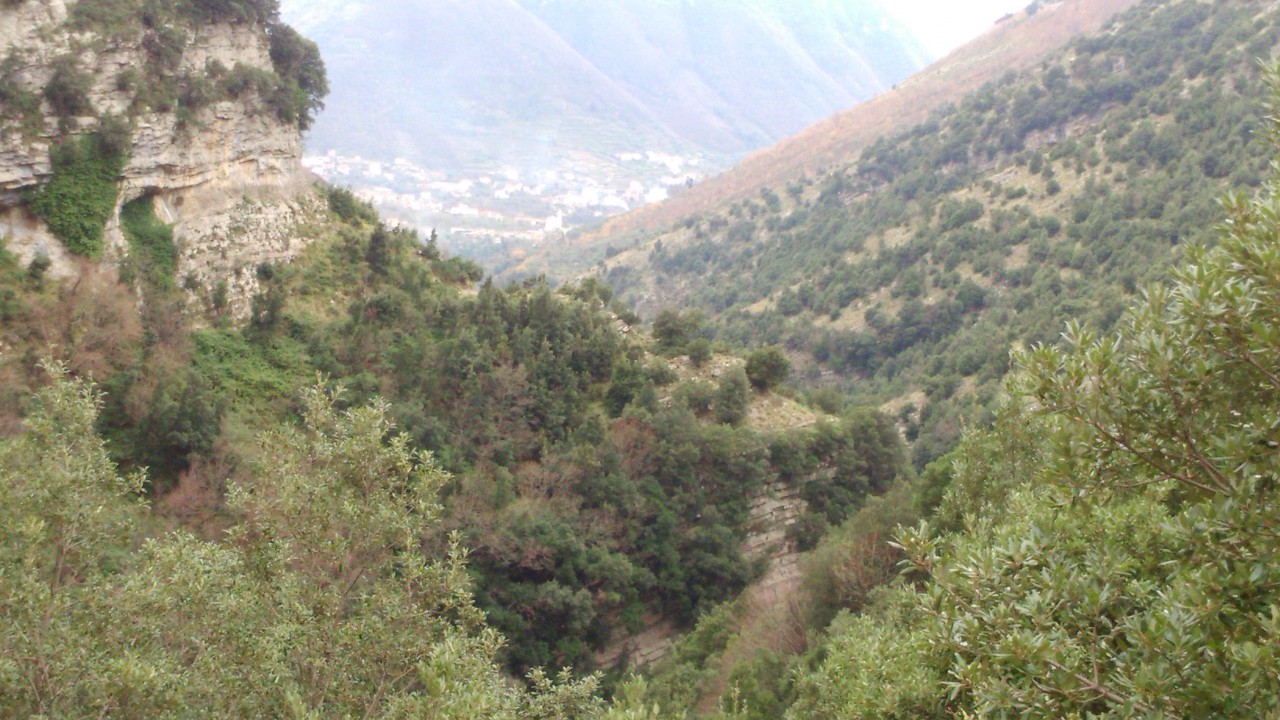
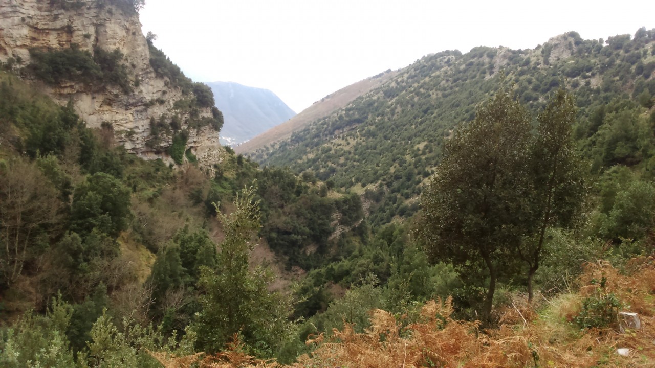
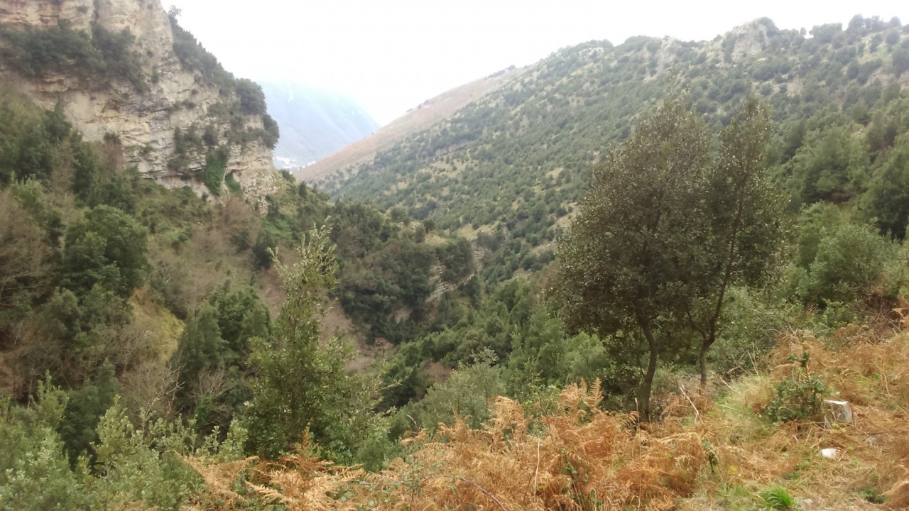
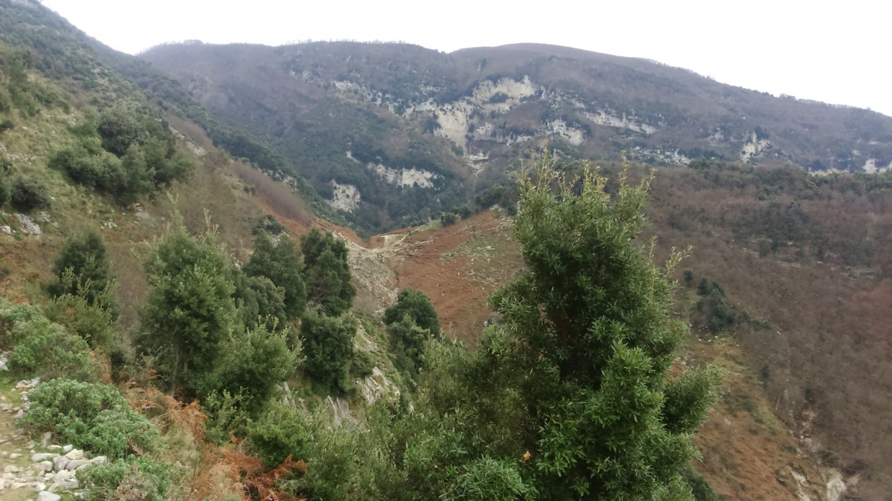
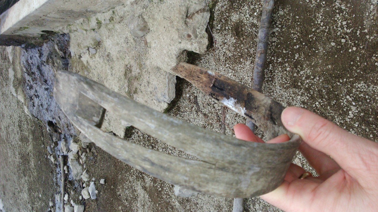
I Canali di Orsano di Lettere (490), Vallone del Pericolo, Intersection 345a Butto dell'acqua (400), Intersection 326 Aurano (275)Water points
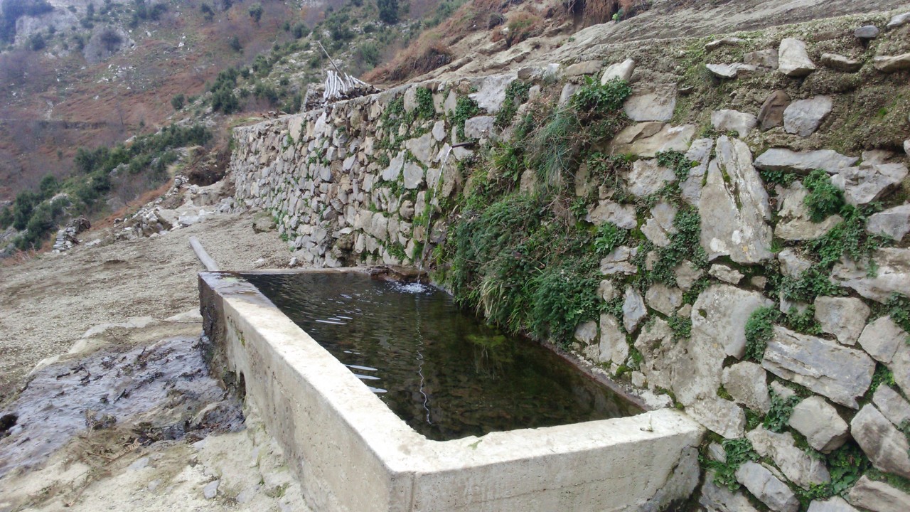
Aurano Fontanile Valle del Pericolo OrsanoDescription
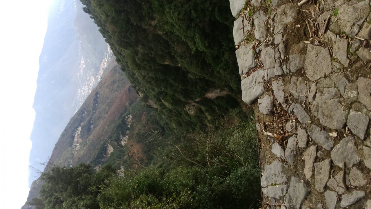
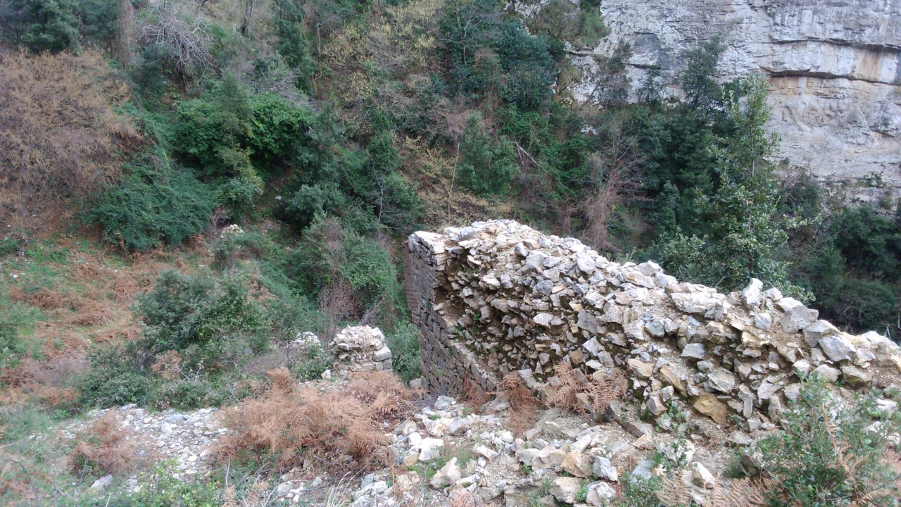
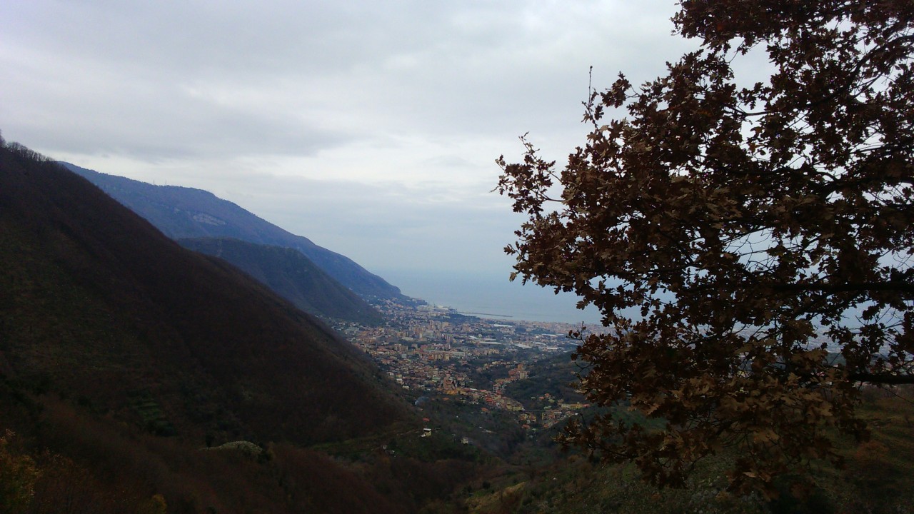
From “Via Fondica” follow a stretch on an ancient staircase that in some point spawns the aqueduct pipeline. Continue along the valley of “Butto dell’Acqua” until to its end where, after crossing a stone stretch, you will meet the ruins of the aqueduct. Climb the “Valley of the Danger” and continue until to reach a widening with a floor of pyroclastic material (lapilli) where a fountain is located. Continuing on the next clear trail, you can easily get to Canali and to the main square of Orsano-Lettere.
From Our Gallery
2 comments
Occhio all'incrocio con Fontanile
Ho percorso questo sentiero dall’incrocio 345a fino ad Aurano. Non ho avuto nessuna difficoltà e c’erano sufficienti segnaletiche per orientarsi. Però qualora si partisse da Lettere a scendere, bisogna fare molta attenzione all’incrocio col Fontanile (345a) poiché ci sono 3 opzioni: a destra del fiume si imbocca il sentiero butto dell’acqua (345a), a sinistra del fiume si continua il sentiero 345 con un sentiero abbastanza nascosto e poco evidente, mentre seguendo il letto del fiume ci si può imboccare in tratti scivolosi e senza via di uscita, nonostante la presenza di scale di legno e di gradini che possono dare l’impressione di una via battuta.
Fino al fontanile bellissimo ma dopo...
L’abbiamo percorso partendo da Lettere fino all’incrocio con il 345a per il Butto dell’acqua.
Fino a qualche centinaia di metri dopo il fontanile il sentiero è comodo ben tracciato e panoramico. I problemi iniziano quando si inizia a scendere verso Caprile: 90 min di felci e rovi, i quali ostruiscono e nascondono quasi del tutto il sentiero è l’eventuale segnaletica. In quel tratto consiglio di armarsi di pantaloni e maniche lunghe, un GPS e una falce bene affilata.