Trail info
Main info about the trail
Warnings
On 2020 the trail has been modified in some part. The new can be downloaded from the site in gpx or kml file. PDF map is updated. The marks on the ground reflect the new route. The CAI map and the smartphone apps (Osmand and similar) are being updated. We apologize for the inconvenience.
How to get there
The path is circular, so it can be started from each the hamlets it crosses. Who does not stay in Tramonti, can start it from Pucara hamlet, the easiest to reach by public transport. Pucara is about 4 Km far from Maiori, along the Maiori-Chiunzi Road. The trail begins from the center, exactly from the junction of Maiori-Chiunzi Road with Via Conservatorio. Pucara can be reached by SITA bus Maiori-Tramonti line. The bus stop in Via Chiunzi. A small car park is very cloose.
Points of interest along the trail
Pucara (140), Novella (260), Pendolo (303), Incrocio 309 Bolviso (340), Gete (350), Ponte (350), Incrocio 310A (321), Campinola (380) Incrocio 311 Capo di Campinola (403), Incrocio 310B Casa Lauro (391), Corsano (390), Incrocio 314 Capitignano (434), Pietre (406), Incrocio 313 Frescale (403), Figlino (360), Incrocio 310A Paterno Sant'Arcangelo (270), Sorgente Acqua della Madonna (239), Incrocio 315C Paterno Sant'Elia (235), Ferriera (147), Pucara (140)
Water points
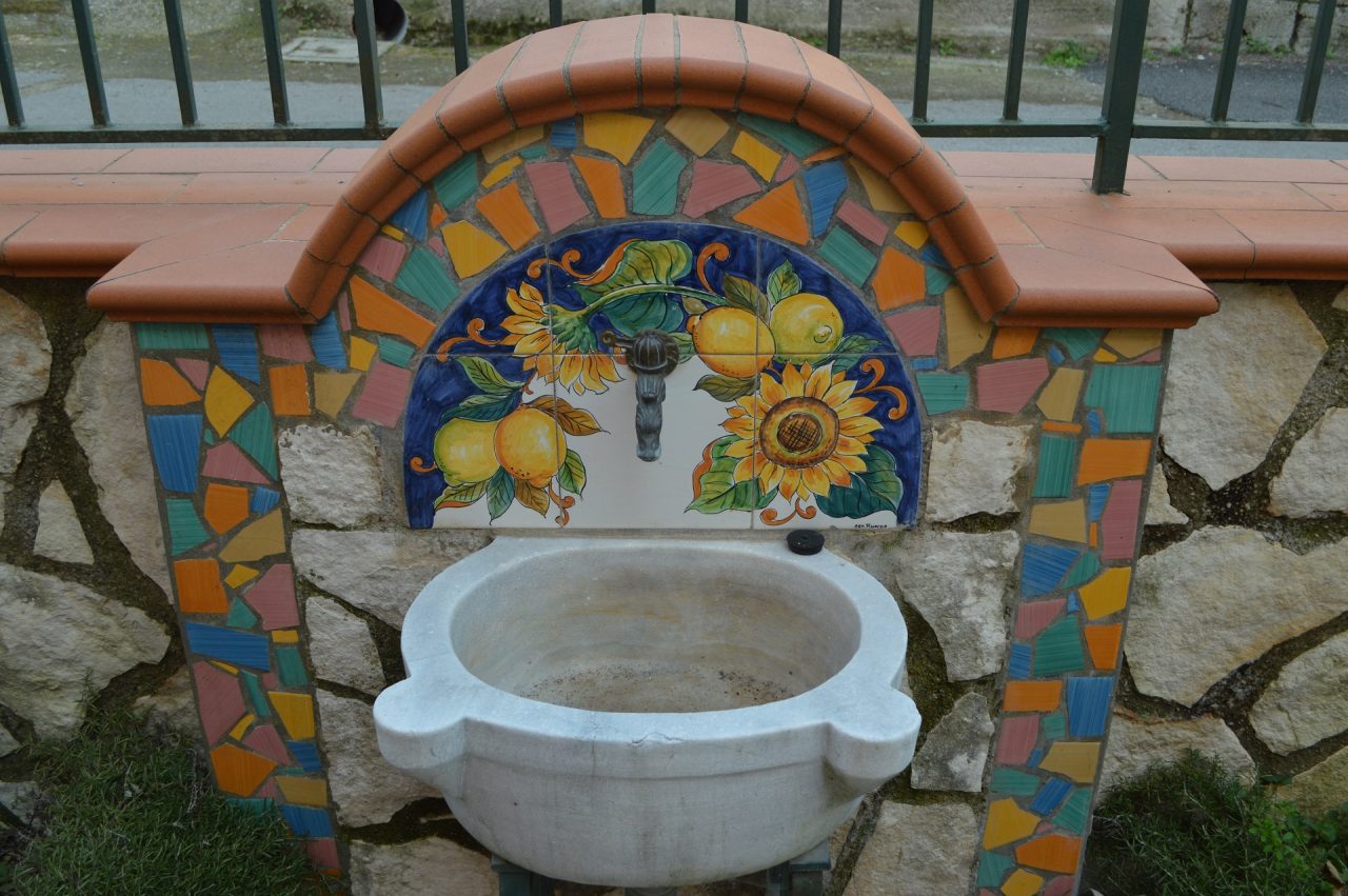
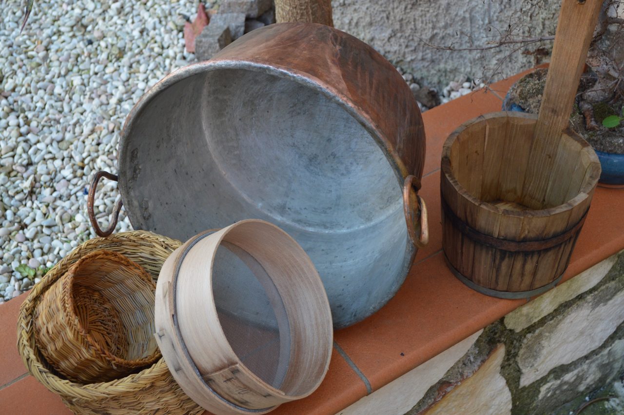
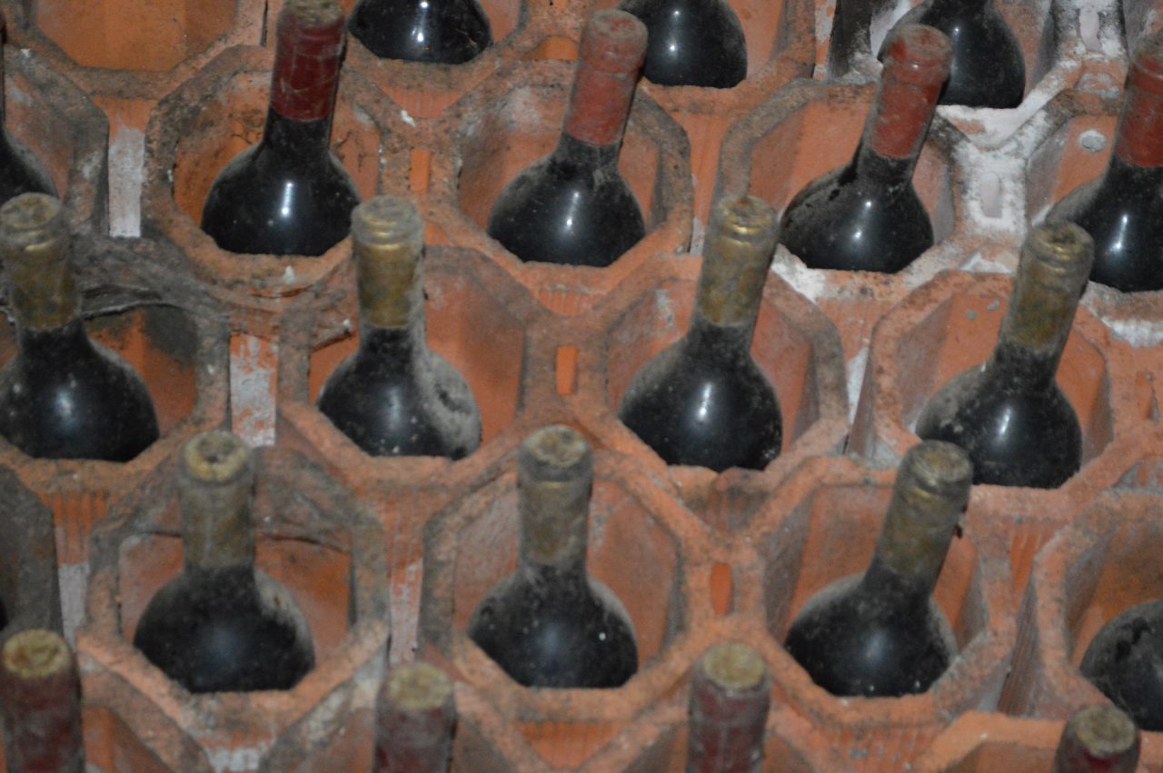
Fontana di Pucara Fontana di Novella Fontana di Torina Fontana di Gete Fontana del Ponte Fontana di Campinola Fontana di Corsano Fontana di Capitignano Fontana di Pietre Fontana di Figlino Sorgente Acqua della MadonnaDescription
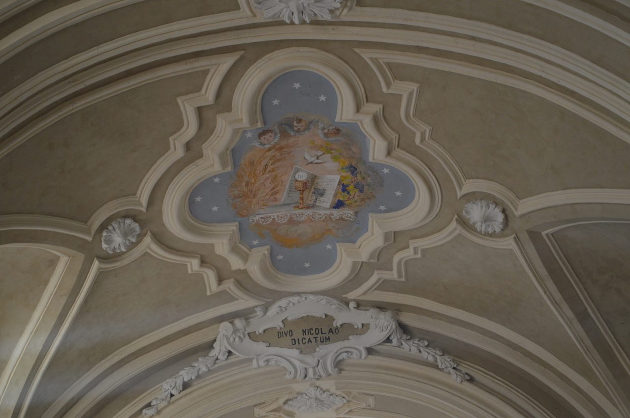
Only who has walked the “Path of the 13 Churches” can say to have really known Tramonti, one of the 13 pearls of the Amalfi Coast.
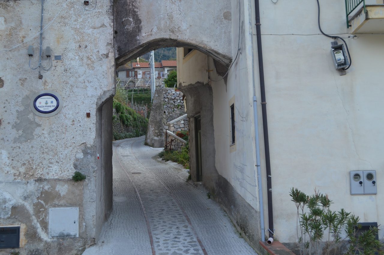
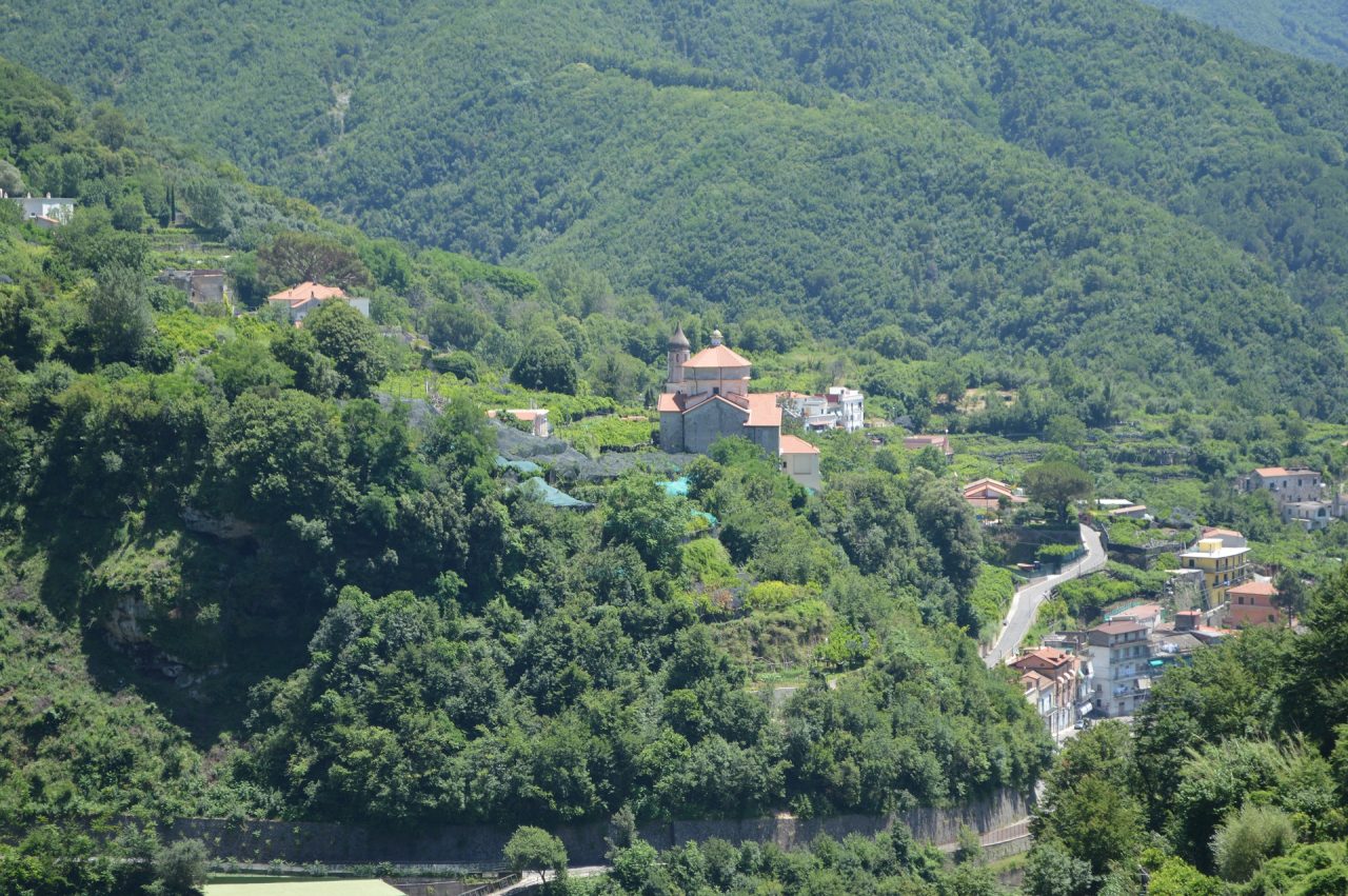
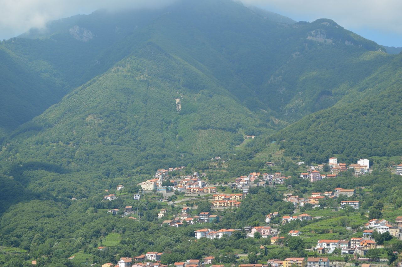
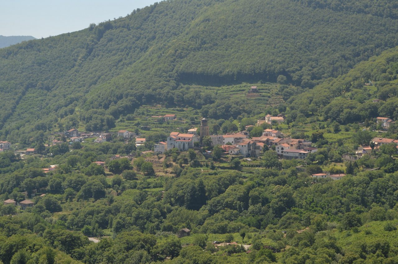
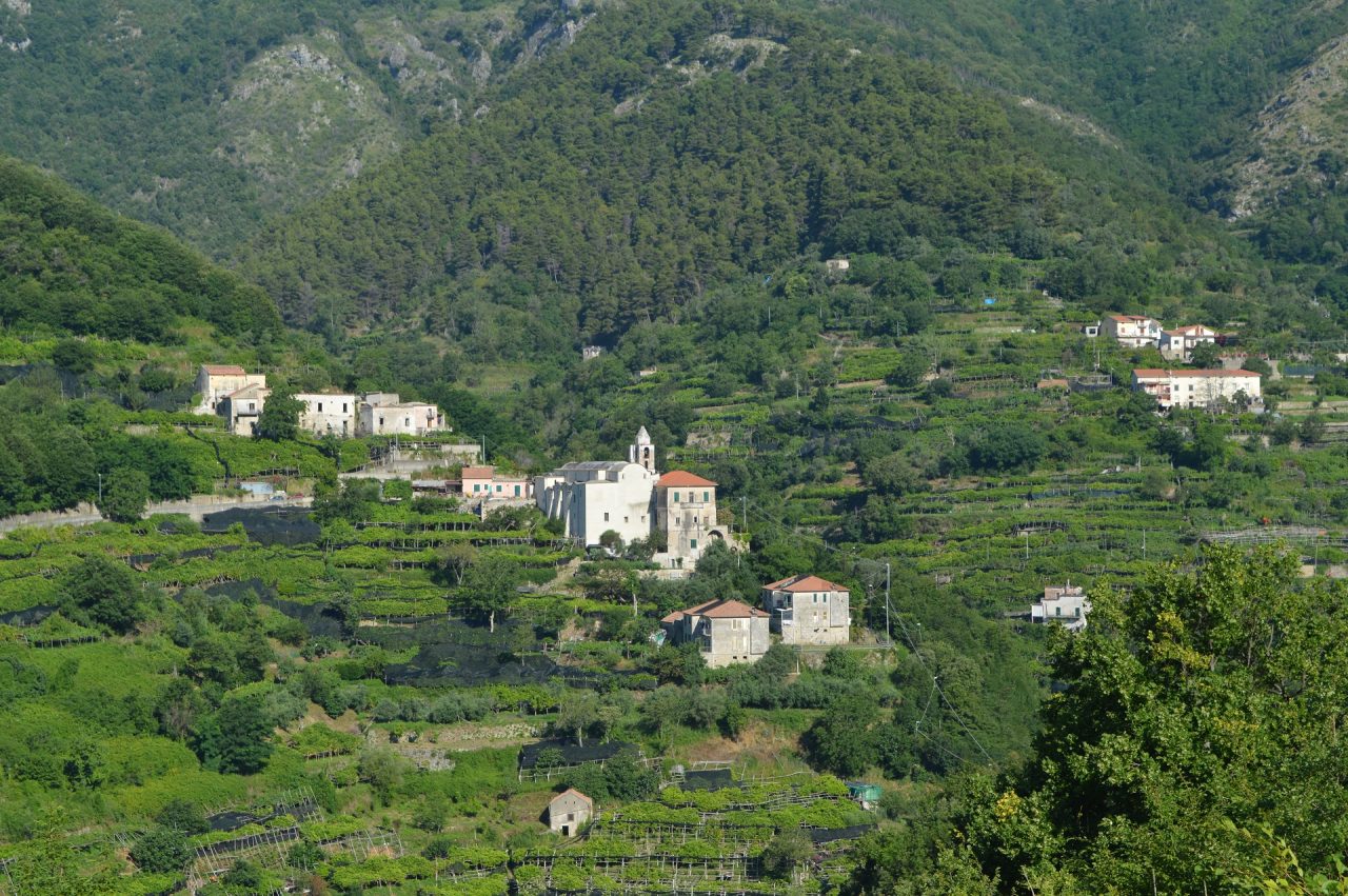
It is because, unlike the other Amalfi Coast towns, Tramonti is not composed by a central village and secondary hamlets, but it is composed by 13 autonomous villages, each with its own church, its square and its group of houses. Practically, it is a village that incorporates other 13, located circulary around the “Santa Maria” hill, where the 1400 “Castle of Santa Maria la Nova” was erected, and now the characteristic municipal cemetery is, sourannded by the castle old stone walls.
This path, therefore, should be traveled mainly to visit Tramonti, being a circular that crosses its villages (11 of 13).
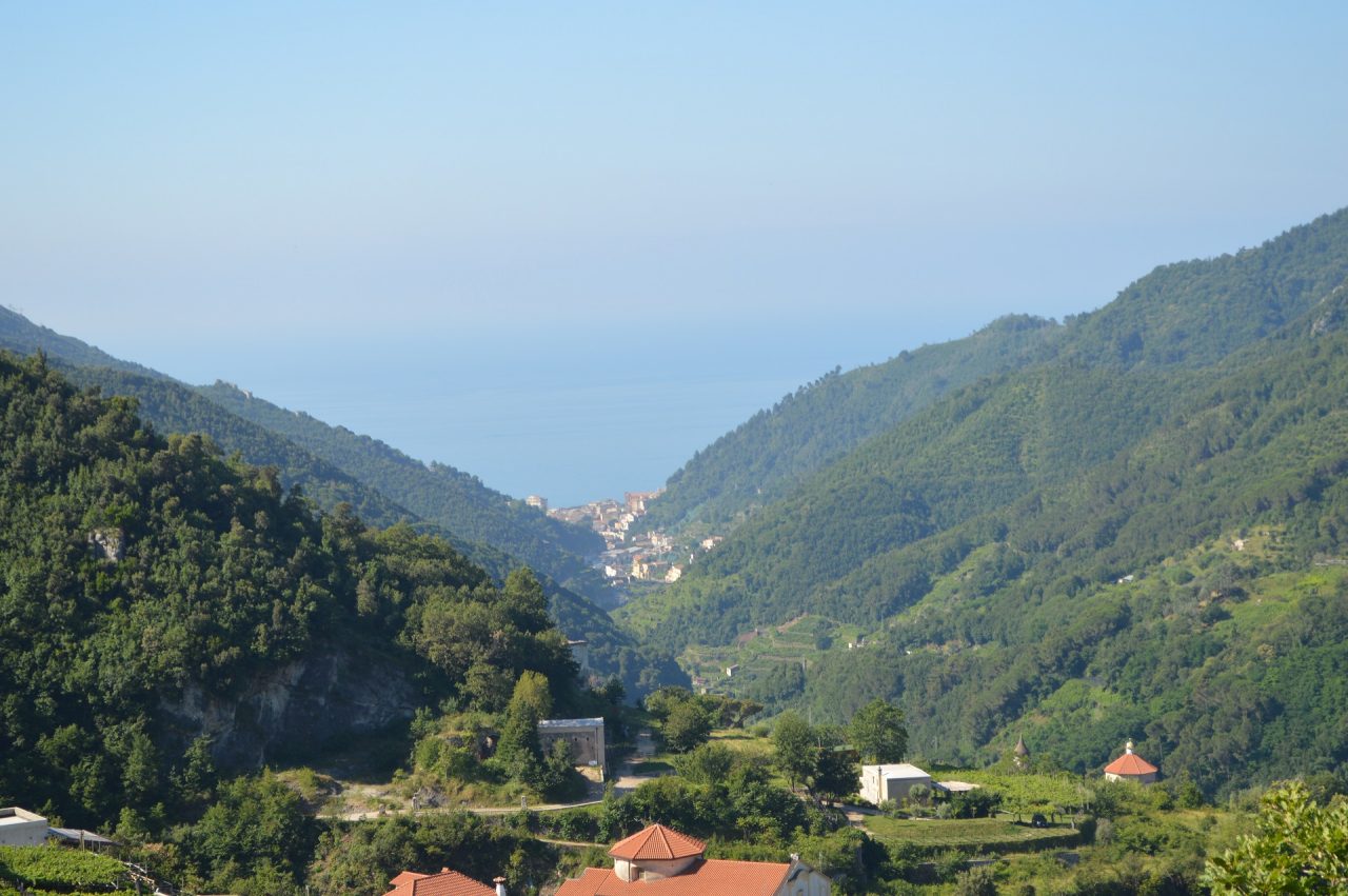
Also, it is very useful to organize an hike towards the nearby seaside places (Maiori, Minori, Atrani or Amalfi) or the beautiful Ravello.
To do that, you have to follow the “Path of the 13 Churches” to “Paterno Sant’Elia” hamlet, taking from there the 310C trail, and then the following 315E or 315A trail, wich lead in a few of hours to the mentioned locations.
More, from the “Path of the 13 Churches” you can also organize a summit hike.
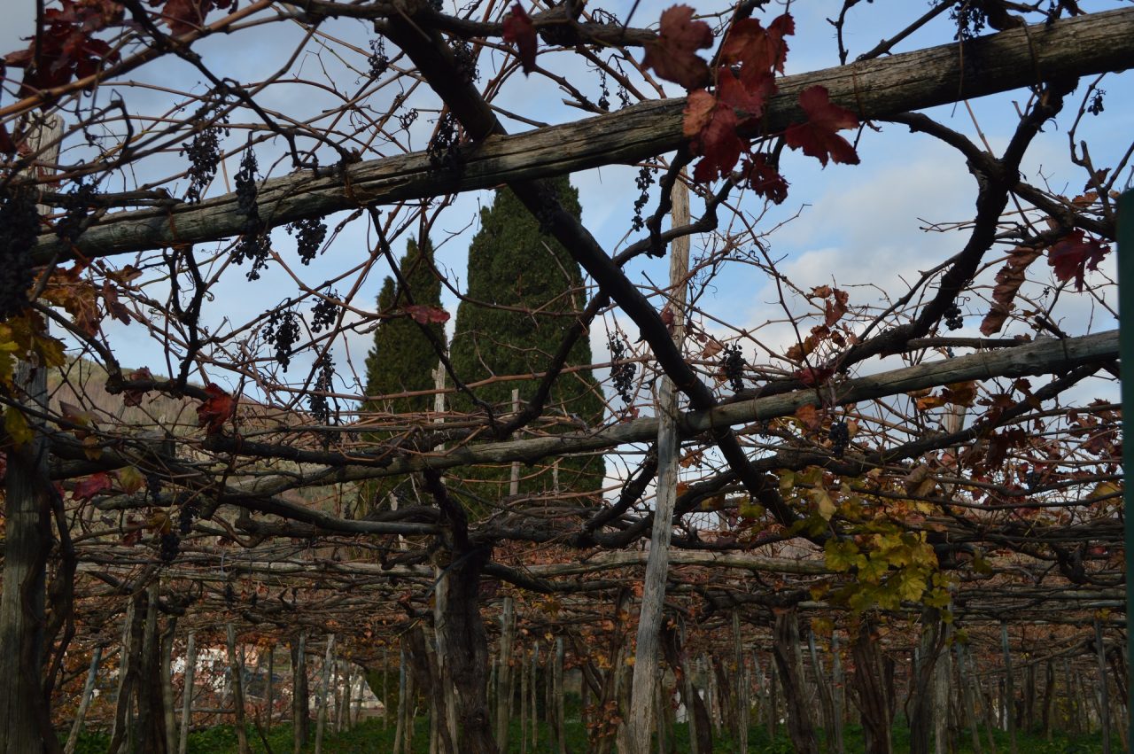
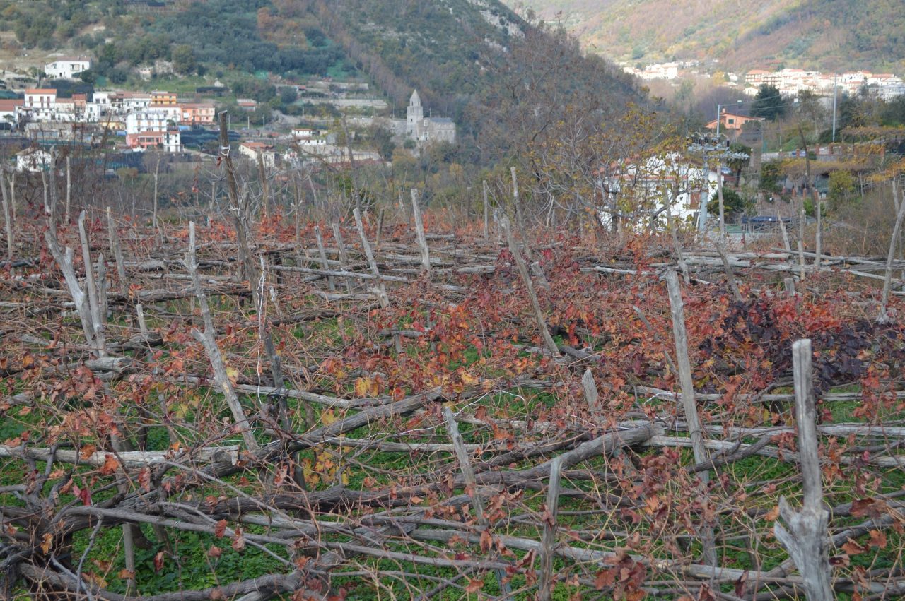
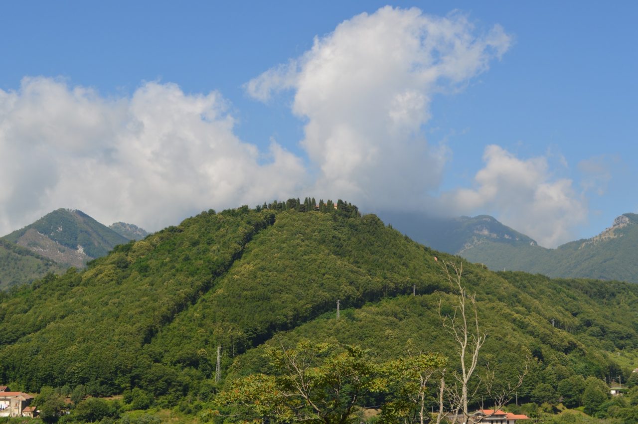
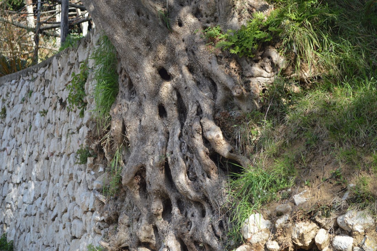
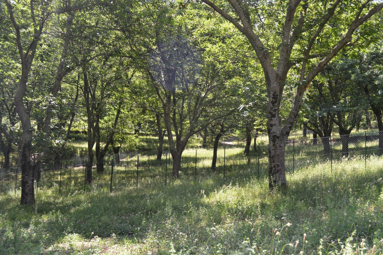
In Tramonti there are some of the main peaks of the “Monti Lattari”, connected to the “Path of the 13 Churches” by different trails (309, 311, 313, 314) and the famous trail 300 (Upper Trail of the Chain of “Monti Lattari” – first part), which crosses Tramonti for 15.5 km. Among these peaks, there are the “Monte Cerreto” , which is 1316 meters high (the second highest of the “Monti Lattari”), and the “Monte Finestra” (the mount with window), wich has two peaks, respectively of 1138 meters (the north) and 1145 meteres (the south), connected by an alpine pass (“Malopasso”; in english “the bad pass”), which also crosses the rock window that gives the name to the mountain. Also, from Tramonti it is possible to reach the “Monte dell’Avvocata” peak (m 1014), overlooking the nearby Maiori.
It is important to know that these summit walks are all very difficult and therefore marked by the highest difficulty level by the Italian Alpine Club – CAI (EE = only for expert hikers). Therefore we absolutely raccomande not to take these summit trails alone and to book a local guide.
As previously mentioned, who uses the 310 trail to visit Tramonti can start from any of the villages crossed by it.
Who does not want to walk the entire path (15.2 Km are not few!), can reduce the walk following the 310A trail (“Alternative Trail to the Trail of the 13 Churces”), wich crosses centrally Tramonti passing through the Polvica hamlet. Of course, he will not visit all the villages, but around an half of them.
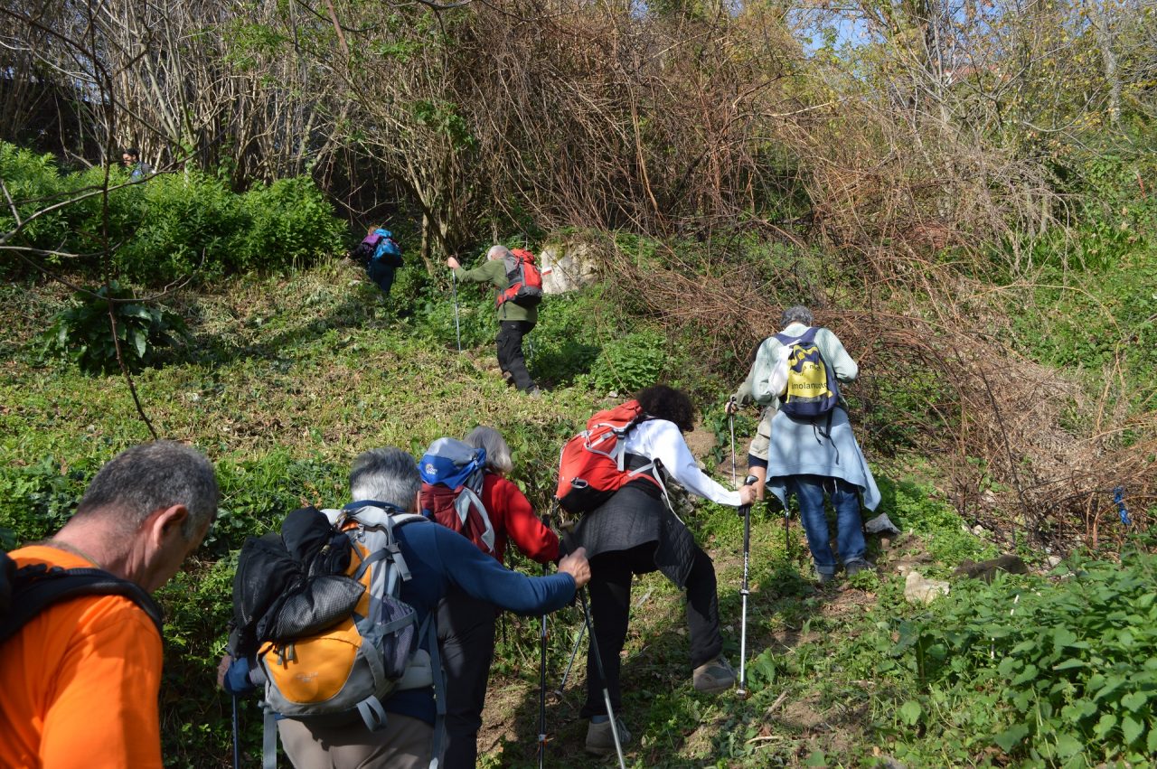
Here we will describe the whole walk, starting from Pucara hamlet, which we have indicated as the best starting point for those who reach it by public transport from Maiori.
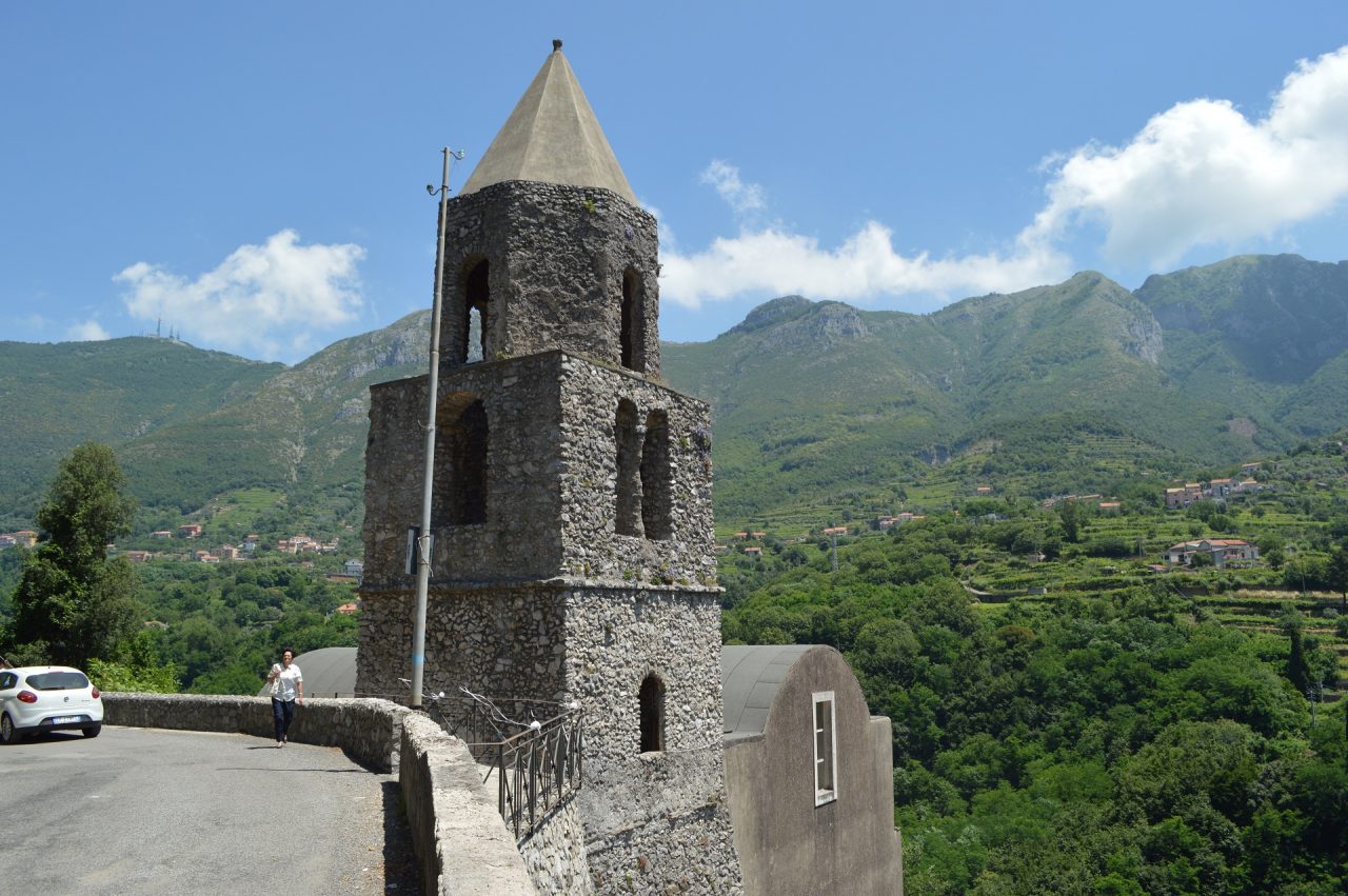
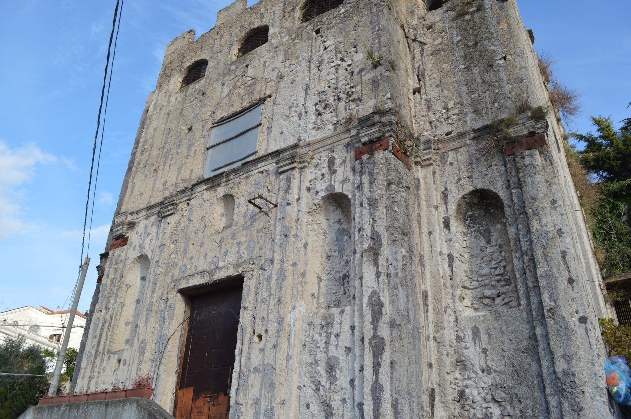
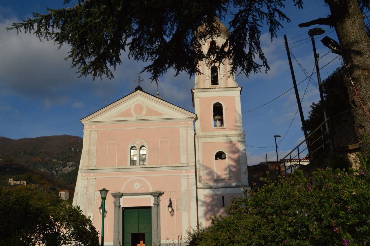
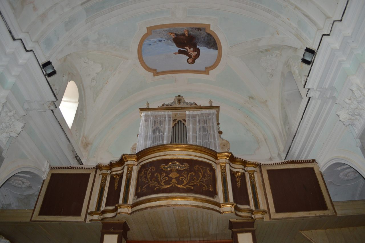
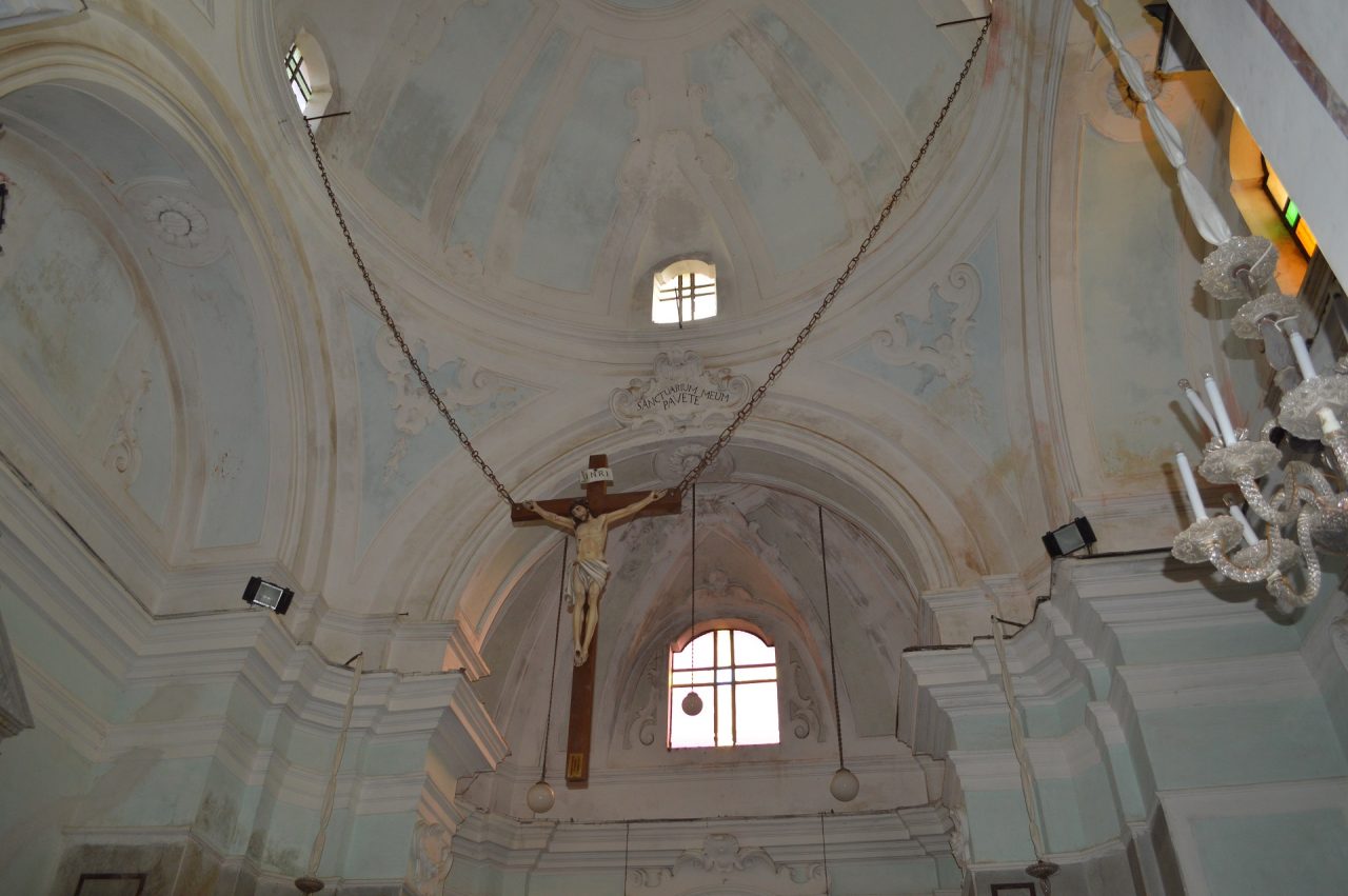
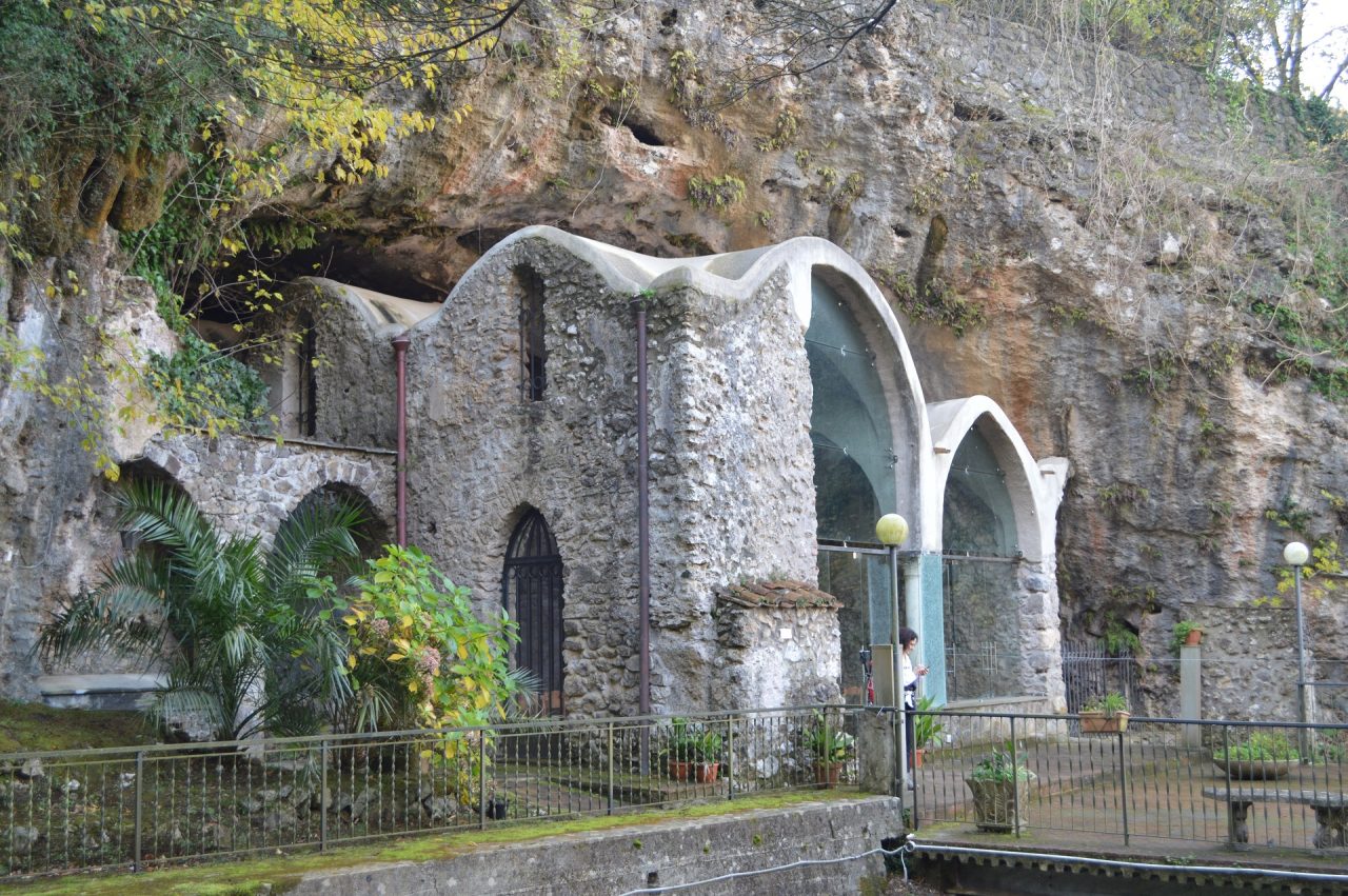
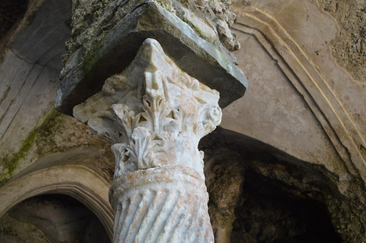
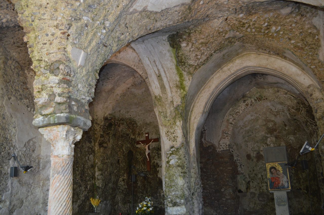
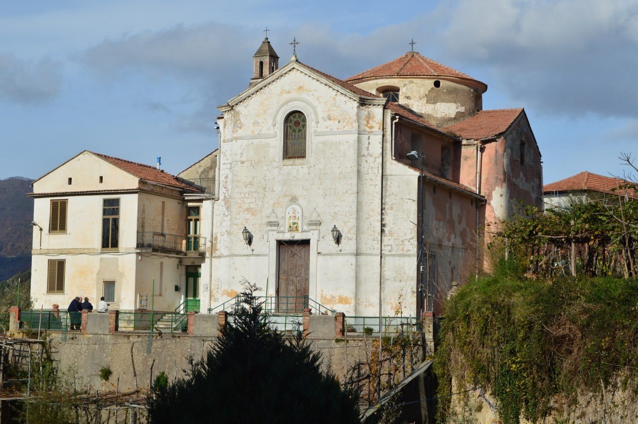
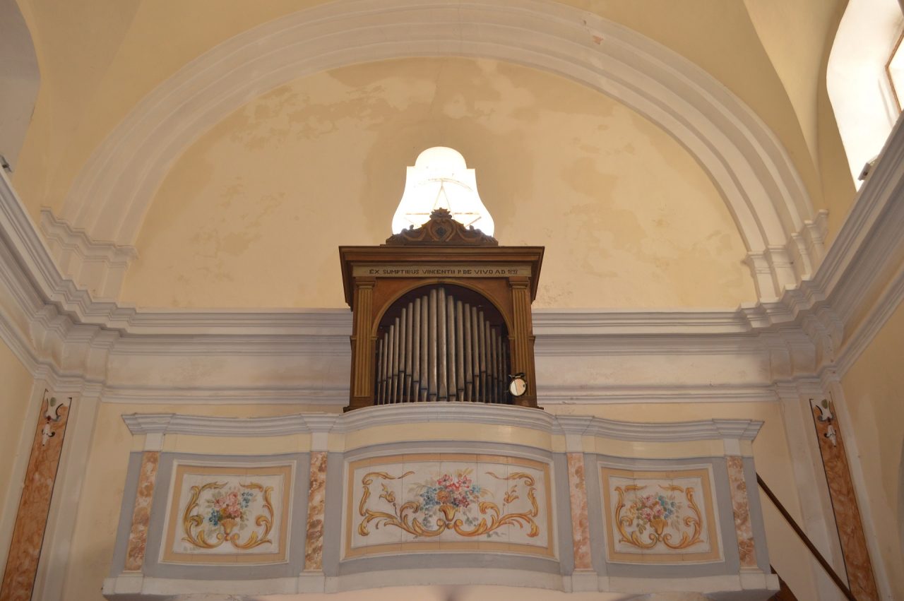
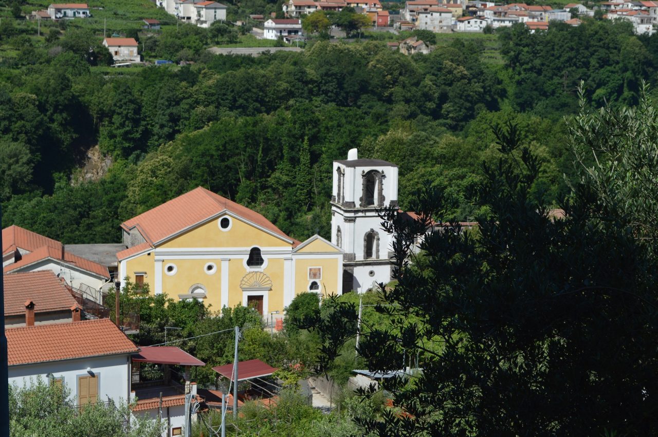
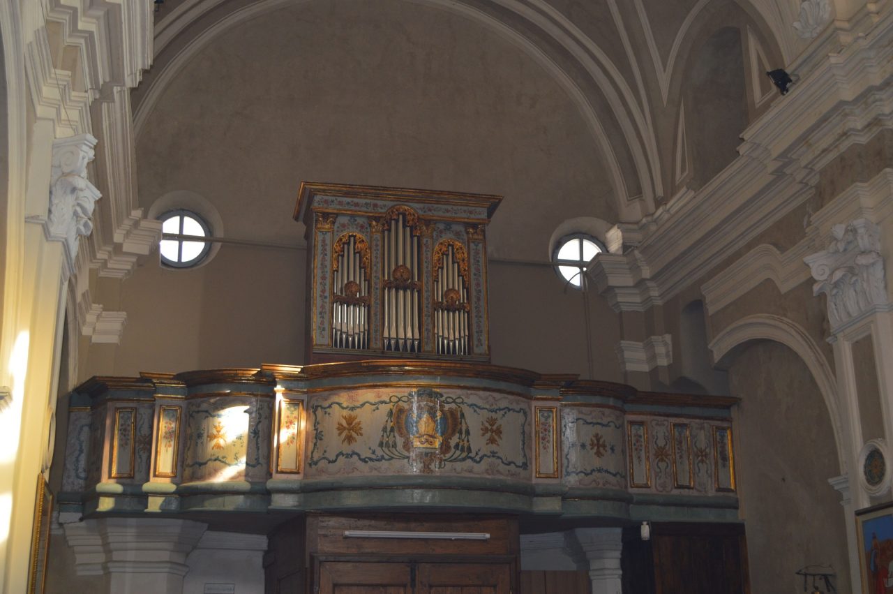
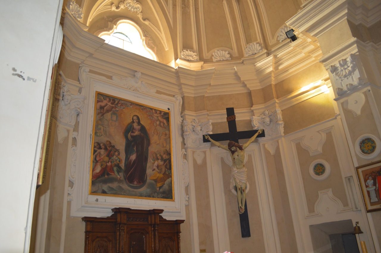
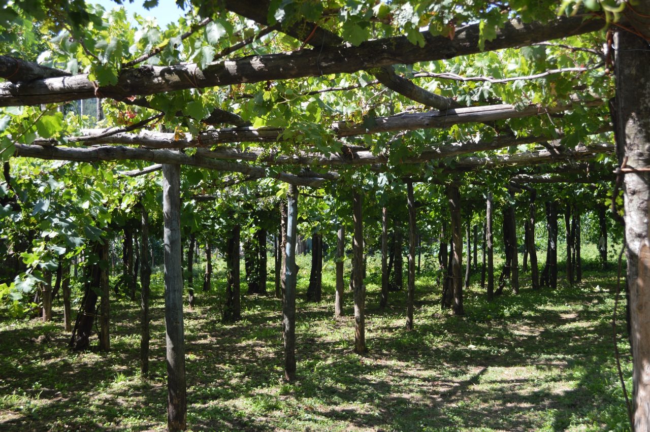
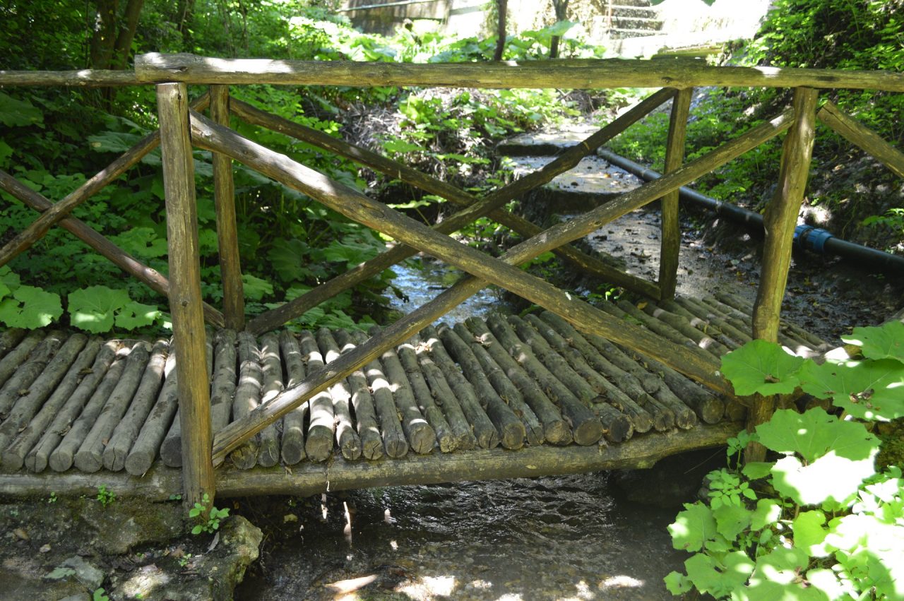
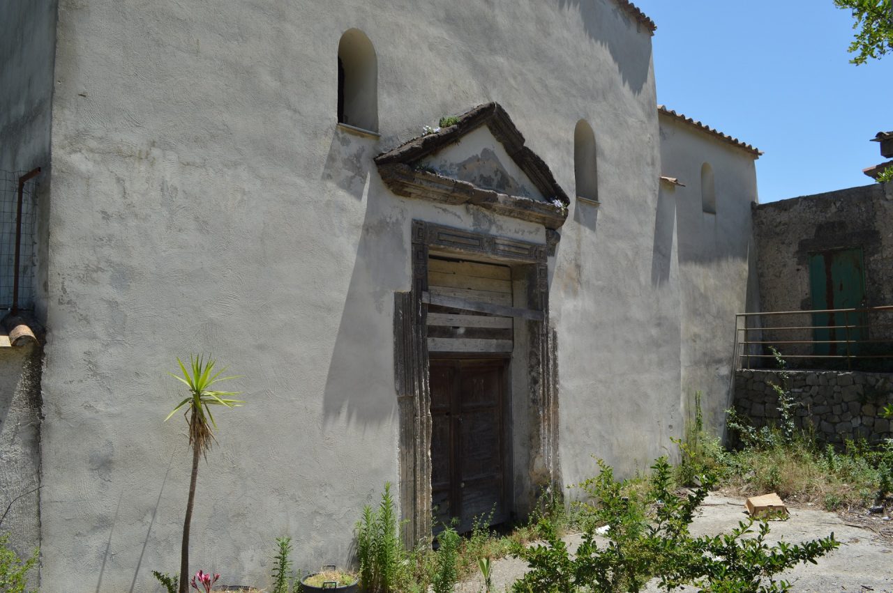
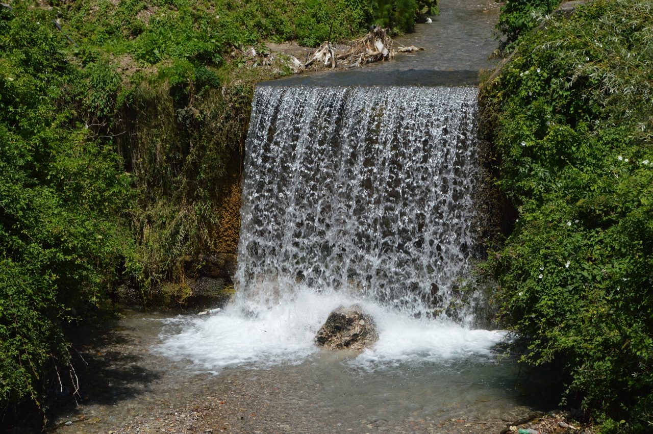
Once in Pucara, from the center of the village (m 140), go up along Via Conservatorio (on the right of the road coming from Maiori) until to reach the 1662 Conservatory of San Giuseppe and Teresa, famous to be the place where the typical local liquor named “Concerto” was created from the infusion of 15 herbs. After a few of meters you will find the 1533 church of Sant’Erasmo. The trail continues along the Vallone Sant’Antonio, through which you reach the village of Novella (m 260), where the 1500 Church of San Bartolomeo Apostolo was erepted. After the hamlet of Novella, there is the village Pendolo (m 303) and then the hamlet of Gete (m 350), where the 8 century rock Chapel and the 1743 Church of San Michele Arcangelo are located. It was rebuilt in replacement of the 12th century church, completely destroyed by the 1735 flood. The next hamlet is Ponte (m 350), where the 1700 church of San Felice is located. Once past this church, you need to reach the road Maiori-Chiunzi and to cross it to take the path that is on the other side of the same road. After a few minutes you will reach the place (m 321), where you will find the intersection between trails 310CAI and 310aCAI. Continuing along the 310CAI (on the right of the across), you will arrive at the village of Campinola (m 380), where the 1600 Church of St. John the Baptist is located. Inside there is an organ on 1700 of unusual beauty. Immediately after the church, you will reach the intersection with the CAI 311 trail, which leads the Upper trail of Monti Lattari (300CAI). Continuing along the 310CAI, always in the village of Campinola you can visit the Secret Garden of the Soul, which is a botanical-experimental garden where you can see many botanical varieties, including about 300 varieties of roses. Leave the hamlet of Campinola, head towards Casa Lauro (m 391), where you will find the path CAI 310b leading to the Pass of Chunizi. After passing Casa Lauro you will arrive in the village of Corsano (m 390), where the 1980 Church of San Salvatore is located, the only church recently built. From Corsano you have to go up the Colle Santa Maria (m 517), where the 1400 Castle of Santa Maria La Nova was located and is currently located the city cemetery. You will descend along the opposite side of the hill to reach the village of Capitignano (m 434), where you will meet the intersection with 314 CAI, which leads the Upper Trail of Monti Lattari (300CAI). After a few hundred meters you will find the 1500 church of Santa Maria della Neve, built on the ruins of the 1200 Church. From Capitignano you go to the village of Pietre (m 406), where, not far from the path, you can visit the 1700 church of San Felice di Tenna, reconstructed on the ruins of the 1500 church, collapsed following the earthquake of 1688. Return to the main path and proceed towards the place named Frescale (m 403), where there is the intersection with 313 CAI, which connects trails 310 CAI and 315d CAI. Continue along 310 until reaching the village of Figlino (m 360), which is the seat of a hospital-befotrophi, which in the VIII-IX century collected the illegitimate newborn children, called “figlini” (in italian it means “minor children”). In Figlino there is the Church of San Pietro, built between the end of 1500 and the beginning of 1600. Inside it is possible to admire a floor of rare beauty, made in 1700 with pottery of Capodimonte. The next hamlet is Paterno Sant’Arcangelo (m 270), where there is one of the oldest churches of Tramonti, the Church of the Ascension, entirely in stone and dating back to the tenth century. The passage from Paterno Sant’Arcangelo to Paterno Sant’Elia takes place through a very characteristic path, which passes through the water source of “Madonna” (m 239) where water supply is possible. In Paterno Sant’Elia (m 235) there is the 1500 Church of Sant’Elia. Always in Paterno Sant’Elia, the 310 CAI is connected to the 315c CAI, which connects Tramonti to the places on the coast (Maiori, Minori, Atrani, Amalfi) and to Ravello. Finally, it reaches Ferriera village (m 147), known as the presence of an old paper mill, which was produced thanks to the driving force offered by the Reginna Major river, which runs alongside it. Then return to Pucara (m 140), which was the starting point of the excursion.
From Our Gallery
7 comments
sentiero delle 13 chiese ma tutte o quasi chiuse
una bellissima passeggiata in questo borgo dove il tempo sambra si sia fermato.A parte l’innumerevole numero di cani che abbiamo trovato per lo piu’ rumorosi ma mai ostili c’e’ da segnalare l’assoluto disinteresse delle amministrazioni ecclesiastiche che lasciano chiusi questi luoghi cosi’ importanti e dove spesso si celano tesori immensi .Delle 13 chiese ne abbiamo trovato solo una aperta la prima ed e’ davvero uno sconforto arrivare davanti ad una chiesa e trovarla irrimediabilmente chiusa.Per il resto il sentiero e’ variegato tra strada asfaltata ,sentiero montano,terrazzamenti,carrarecce,sterrato….un bel mix di terreni.Da fare assolutamente con la speranza che ben presto queste chiese riapriranno i loro battenti.Traccia scaricata dal sito ottima ed affidabile.
Bella passeggiata nel polmone verde della Costa Amalfitana
Bellissima passeggiata di circa 5 ore con paesaggi stupendi. Siamo partiti da Novella e eseguito il percorso in senso orario. Segnalazione ottimale. Nessuna difficoltà particolare. Fontane presenti in quasi tutti i borghi. Prevedere bastoncini per la discesa (se il caso) dal cimitero di Tramonti fino a Corsano
Punto di attenzione : il tratto tra Ponte e Campinola si svolge nei boschi su un sentiero coperta da una fitta vegetazione dove la segnaletica rossa-bianca può diventare difficile da individuare. Su questo percorso, abbiamo trovato per 3 volte il sentiero interrotto da barriere per animali.
Per parcheggiare la macchina, inutile cercare un posto a sosta gratuita. Tutto è a pagamento, ma ben organizzato.
Esperienza da ripetere
Un viaggio nella natura e alla scoperta di borghi e chiese davvero caratteristiche. Per una giornata di assoluta tranquillità immersi nella natura e lontani dal caos e dai rumori di tutti giorni direi che è il percorso perfetto.
Ancora una volta Matteo e Danilo si sono dimostrati speciali, cordiali e competenti guide. Consigliatissimi.
ECCEZIONALE
Il sentiero delle 13 Chiese è così invitante e ricco di sfaccettature come pochi altri luoghi al mondo. Oltre ai percorsi escursionistici con splendidi panorami si percorrono borghi, chiese storiche, si cammina tra limoneti, vigneti, castagneti con tutto ciò che la natura ha da offrire.
Si vive la bellezza della Costiera Amalfitana partendo da Tramonti( entroterra Costiera privo di caos, paese estremamente tranquillo con una bellezza indescrivibile ) , vivendo momenti indimenticabili in stretto contatto con la montagna, con la natura.
Matteo e Danilo sono state le nostre guide, ragazzi competenti, amorevoli, che regalano emozioni a coloro che intendono vivere questo fantastico sentiero.
Bellissima!
Bellissima esperienza per conciliare storia e natura.
Lontano dal traffico della costiera si ha la possibilità di visitare sentieri, chiese e tenute di tramonti.
Eccellente
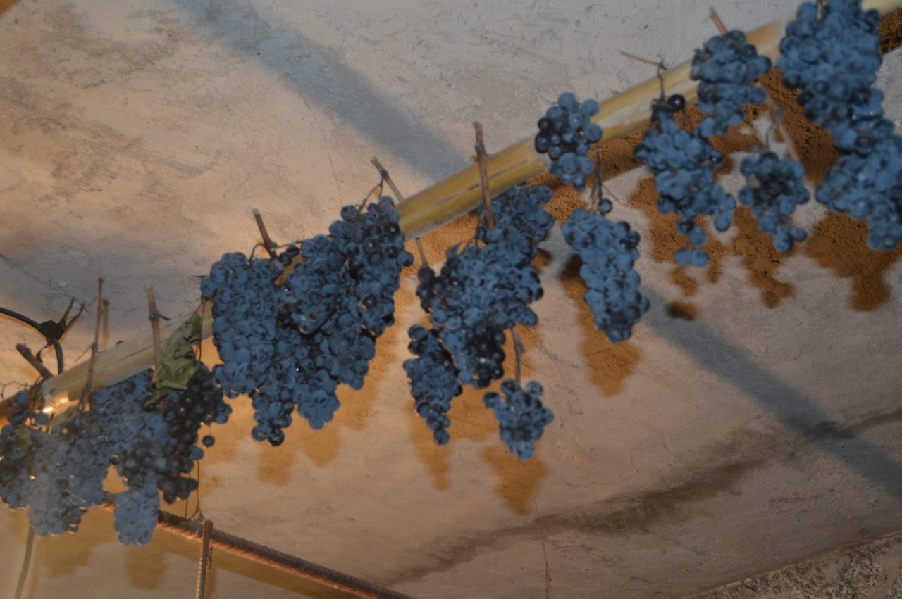
Un sentiero unico per le sue Peculiarità, si attraversano borghi e chiese, si cammina tra vecchie vie comunali, limoneti, vitigni secolari (Il Tintore) e soprattutto si visitano Chiese.
Si vive L’entroterra Costiera senza , casino, senza affollamento.
Tramonti L’altra Costiera.
Sentiero percorso il 15 settembre (nel verso opposto rispetto a quello descritto nella scheda). Confermo l’impraticabilità del sentiero tra Campinola e Ponte. Risulta dunque complesso anche raggiungere il bivio tra il 310 e il 310a che conduce a Polvica. Volendo si può tagliare da Gete, dove un breve sentiero passa sotto Via Gete e si allaccia alla provinciale, che può essere seguita per un breve tratto fino a raggiungere Polvica.
Da segnalare una criticità anche a Corsano. Quando si lascia Via Castello Santa Maria per scendere giù a Corsano, il sentiero, inizialmente battuto, si perde completamente nella vegetazione ed è in parte interrotto da grossi tronchi.
Al di là di ciò, il sentiero è di facile percorribilità ma non estremamente bello (a seconda del giorno che sceglierete per percorrerlo, non troverete necessariamente tutte le chiese aperte e visitabili).